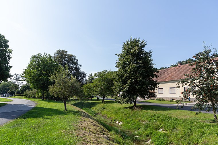
Gieberling
Gieberling is a hamlet in Stadtschlaining, Oberwart District, Burgenland. Gieberling is situated nearby to the village Neumarkt im Tauchental, as well as near Altschlaining.| Tap on a place to explore it |
- Type: Hamlet
- Description: human settlement in Oberwart District
- Also known as: “Karlshof”
Places of Interest
Highlights include Nikolauskirche and Friedhofskapelle Neumarkt im Tauchental.

Friedhofskapelle Neumarkt im Tauchental
Church

Photo: Anton-kurt, CC BY-SA 3.0 at.
Friedhofskapelle Neumarkt im Tauchental is a church.
Stadtbrunnen Stadtschlaining
Fountain

Photo: Anton-kurt, CC BY-SA 3.0 at.
Stadtbrunnen Stadtschlaining is a fountain, which is situated 2½ km north of Gieberling.
Places in the Area
Nearby places include Altschlaining and Drumling.


Gieberling
- Categories: human settlement and locality
- Location: Stadtschlaining, Oberwart District, Burgenland, Austria, Central Europe, Europe
- View on OpenStreetMap
Latitude
47.30037° or 47° 18′ 1″ northLongitude
16.28002° or 16° 16′ 48″ eastOpen location code
8FVR872J+42OpenStreetMap ID
node 1477989898OpenStreetMap feature
place=hamletWikidata ID
Q84951107
This page is based on OpenStreetMap, Wikidata, and Wikimedia Commons.
We’d love your help improving our open data sources. Thank you for contributing.
Satellite Map
Discover Gieberling from above in high-definition satellite imagery.
In Other Languages
From Dutch to German—“Gieberling” goes by many names.
- Dutch: “Gieberling”
- German: “Gieberling”
- German: “Karlshof”
Localities in the Area
Explore places such as Neumarkt im Tauchental and Stadtschlaining.
Notable Places Nearby
Highlights include Hochbehälter Giberling and Erzberg.
Burgenland: Must-Visit Destinations
Delve into Eisenstadt, Neusiedl am See, Rust, and Güssing.
Curious Hamlets to Discover
Uncover intriguing hamlets from every corner of the globe.
About Mapcarta. Data © OpenStreetMap contributors and available under the Open Database License". Text is available under the CC BY-SA 4.0 license, except for photos, directions, and the map. Photo: Wikimedia, CC BY-SA 4.0.