Stadtzeichen 69/9
Stadtzeichen 69/9 is a work of art in Karlsruhe, Rhine-Neckar, Baden-Württemberg. Stadtzeichen 69/9 is situated nearby to the tourism office Zoo Information, as well as near the food court Station Food.| Tap on a place to explore it |
- Type: Work of art
- Artwork type: sculpture
- Wheelchair access: yes
Places of Interest Nearby
Highlights include Karlsruhe Central Station and Karlsruhe Zoo.
Karlsruhe Central Station
Railway stop

Photo: Randy43, CC BY-SA 3.0.
Karlsruhe Hauptbahnhof is a railway station in the German city of Karlsruhe. The station is classified as a Category 1 station, as it is a major hub where several railways connect. Karlsruhe Central Station is situated 140 metres south of Stadtzeichen 69/9.
Karlsruhe Zoo
Park
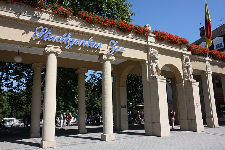
Photo: Root66, CC BY-SA 3.0.
The Karlsruhe Zoo is a city garden with a zoo in the southwest of Karlsruhe, Germany. It also encompasses the outer area; Tierpark Oberwald in the southeast of the city. Karlsruhe Zoo is situated 400 metres north of Stadtzeichen 69/9.

Places in the Area
Nearby places include Mühlburg and Wolfartsweier.
Mühlburg
Suburb

Photo: Baden-Paul, CC0.
Mühlburg is a district of Karlsruhe, Germany. The district is further divided into Alt-Mühlburg, Weingärtensiedlung, Rheinhafen and Mühlburger Feld. Mühlburg is situated 3½ km northwest of Stadtzeichen 69/9.
Wolfartsweier
Suburb
Wolfartsweier is a village and a quarter of Karlsruhe, Baden-Württemberg, Germany. Its population is 3,068. It was first mentioned in 1261 AD under the name of "Wolvoldeswilere". Wolfartsweier is situated 4½ km southeast of Stadtzeichen 69/9.
Durlach
Suburb

Photo: Martin-D1, Public domain.
Durlach is a district in Karlsruhe, Germany, with a population of roughly 30,000. The district is further divided into Alt-Durlach, Dornwald-Untermühl, Hanggebiet, Bergwald, Aue, Lohn-Lissen and Killisfeld. Durlach is situated 5 km east of Stadtzeichen 69/9.
Stadtzeichen 69/9
- Category: tourism
- Location: Karlsruhe, Karlsruhe Region, Rhine-Neckar, Baden-Württemberg, Germany, Central Europe, Europe
- View on OpenStreetMap
Latitude
48.99479° or 48° 59′ 41″ northLongitude
8.40119° or 8° 24′ 4″ eastInception
2006Open location code
8FWCXCV2+WFOpenStreetMap ID
node 1481190835OpenStreetMap feature
tourism=artworkOpenStreetMap attribute
artwork_type=sculptureOpenStreetMap attribute
wheelchair=yes
This page is based on OpenStreetMap, Wikidata, and Wikimedia Commons.
We’d love your help improving our open data sources. Thank you for contributing.
Satellite Map
Discover Stadtzeichen 69/9 from above in high-definition satellite imagery.
Notable Places Nearby
Highlights include Zoo Information and Station Food.
Nearby Places
Explore places such as Bahnhofsvorplatz and Der Stadtgarten.
Rhine-Neckar: Must-Visit Destinations
Delve into Heidelberg, Mannheim, Heilbronn, and Sinsheim.
Curious Work Of Arts to Discover
Uncover intriguing work of arts from every corner of the globe.
About Mapcarta. Data © OpenStreetMap contributors and available under the Open Database License". Text is available under the CC BY-SA 4.0 license, except for photos, directions, and the map. Photo: Ruhrfisch, CC BY-SA 3.0.