CDU-Büro
CDU-Büro is a government office in Münster, Münsterland, North Rhine-Westphalia which is located on Hammer Straße. CDU-Büro is situated nearby to the government office Haus der Nachhaltigkeit, as well as near the public building Stadthaus 2.| Tap on a place to explore it |
- Opening hours:
Monday—Thursday: 9:00 AM—1:00 PM and 2:00 PM—4:00 PM
Friday: 9:00 AM—1:00 PM - Type: Government office
- Address: Hammer Straße 10
Places of Interest Nearby
Highlights include Maid and bull and Bischöfliches Mädchengymnasium Marienschule.
Maid and bull
Work of art

Photo: Skinmate, CC BY-SA 2.5.
Maid and bull is a work of art, which is situated 140 metres north of CDU-Büro.
Bischöfliches Mädchengymnasium Marienschule
School
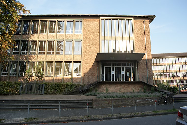
Photo: Der Unbestechliche, CC BY-SA 4.0.
Bischöfliches Mädchengymnasium Marienschule is a school, which is situated 180 metres west of CDU-Büro.
Oerscher Hof
Castle

Photo: RoxFuchs, CC BY-SA 4.0.
Oerscher Hof is a castle, which is situated 420 metres north of CDU-Büro.
Places in the Area
Nearby places include Münster-Erphoviertel and Gremmendorf.

Gremmendorf
Suburb
Gremmendorf is a locale in the city of Münster, North Rhine-Westphalia. The area lies south-eastern of the city-center, has a population of 11,000, and belongs to the south-eastern municipal district. Gremmendorf is situated 4½ km southeast of CDU-Büro.
Münster-Kinderhaus
Suburb
Kinderhaus is a district of Münster, a city in North Rhine-Westphalia, Germany. It lies approximately 4 km to the north of the centre of Münster and belongs to the borough Münster-Nord, together with Coerde and Sprakel. Münster-Kinderhaus is situated 4½ km north of CDU-Büro.
CDU-Büro
- Categories: office and government building
- Location: Münster, Münster, Münsterland, North Rhine-Westphalia, Germany, Central Europe, Europe
- View on OpenStreetMap
Latitude
51.95437° or 51° 57′ 16″ northLongitude
7.62587° or 7° 37′ 33″ eastOpen location code
9F39XJ3G+P8OpenStreetMap ID
node 1506398892OpenStreetMap feature
office=government
This page is based on OpenStreetMap, Wikidata, and Wikimedia Commons.
We’d love your help improving our open data sources. Thank you for contributing.
Satellite Map
Discover CDU-Büro from above in high-definition satellite imagery.
Notable Places Nearby
Highlights include Haus der Nachhaltigkeit and Stadthaus 2.
Nearby Places
Explore places such as Reisebüro Emu Tours and Die Goldwaage.
Münsterland: Must-Visit Destinations
Delve into Bocholt, Dülmen, Rheine, and Haltern am See.
Curious Government Offices to Discover
Uncover intriguing government offices from every corner of the globe.
About Mapcarta. Data © OpenStreetMap contributors and available under the Open Database License". Text is available under the CC BY-SA 4.0 license, except for photos, directions, and the map. Photo: Brisbane, CC BY-SA 3.0.