Unterbuchacher Alm
Unterbuchacher Alm is a locality in Kirchbach, Hermagor District, Carinthia. Unterbuchacher Alm is situated nearby to the village Goderschach, as well as near Stranig.| Tap on a place to explore it |
Places of Interest
Highlights include Schulterkofel and Troistöckl.
Schulterkofel
Peak
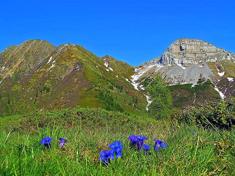
Photo: Vid Pogacnik, CC BY-SA 4.0.
Schulterkofel is a peak, which is situated 3½ km southeast of Unterbuchacher Alm.
Troistöckl
Church

Photo: Niki.L, CC BY-SA 4.0.
Troistöckl is a church, which is situated 3 km north of Unterbuchacher Alm.
Filialkirche hl. Anastasia
Church

Photo: Niki.L, CC BY-SA 4.0.
Filialkirche hl. Anastasia is a church, which is situated 3½ km north of Unterbuchacher Alm.
Places in the Area
Nearby places include Grafendorf and Dellach.
Grafendorf
Village

Photo: Naturpuur, CC BY-SA 4.0.
Grafendorf is a village, which is situated 5 km northwest of Unterbuchacher Alm.
Dellach
Village

Photo: JJ55, CC BY-SA 3.0.
Dellach is a municipality in the district of Hermagor, in the Austrian state of Carinthia. Dellach is situated 7 km northwest of Unterbuchacher Alm.
Gurina
Hamlet

Photo: Johann Jaritz, CC BY-SA 3.0 at.
Gurina is a hamlet, which is situated 7 km northwest of Unterbuchacher Alm.
Unterbuchacher Alm
- Type: Locality
- Location: Kirchbach, Hermagor District, Carinthia, Austria, Central Europe, Europe
- View on OpenStreetMap
Latitude
46.6179° or 46° 37′ 4″ northLongitude
13.14345° or 13° 8′ 36″ eastOpen location code
8FRMJ49V+59OpenStreetMap ID
node 1528831917OpenStreetMap feature
place=locality
This page is based on OpenStreetMap, Wikidata, and Wikimedia Commons.
We’d love your help improving our open data sources. Thank you for contributing.
Satellite Map
Discover Unterbuchacher Alm from above in high-definition satellite imagery.
Places with the Same Name
Discover other places named “Unterbuchacher Alm”.
Localities in the Area
Explore places such as Unterbuchach and Goderschach.
Notable Places Nearby
Highlights include Feldkofel and Buhle.
Carinthia: Must-Visit Destinations
Delve into Klagenfurt, Villach, Wörthersee, and Spittal an der Drau.
Curious Localities to Discover
Uncover intriguing localities from every corner of the globe.
About Mapcarta. Data © OpenStreetMap contributors and available under the Open Database License". Text is available under the CC BY-SA 4.0 license, except for photos, directions, and the map. Photo: Wikimedia, CC BY-SA 3.0.