Schönwässerchen
Schönwässerchen is a waterworks in Hesse, Germany. Schönwässerchen is situated nearby to the peak Hohe Kanzel, as well as near Rassel.| Tap on a place to explore it |
Places of Interest Nearby
Highlights include Hohe Kanzel and Rassel.

Rassel
Peak

Photo: Kreuzschnabel, CC BY-SA 3.0.
Rassel is a mountain of Hesse, Germany. It lies in the north of the territory of the hessian capital Wiesbaden and is its highest independent elevation.

Places in the Area
Nearby places include Niederseelbach and Rambach.
Niederseelbach
Village

Photo: Karsten11, Public domain.
Niederseelbach is a village, which is situated 3 km north of Schönwässerchen.
Rambach
Village
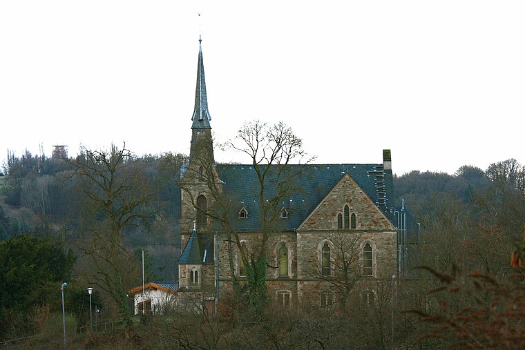
Photo: Wo st 01, CC BY-SA 3.0 de.
Rambach is a village, which is situated 4 km south of Schönwässerchen.
Oberjosbach
Village

Photo: Kreuzschnabel, CC BY-SA 3.0.
Oberjosbach is a village, which is situated 5 km northeast of Schönwässerchen.
Schönwässerchen
- Type: Waterworks
- Category: industry
- Location: Hesse, Germany, Central Europe, Europe
- View on OpenStreetMap
Latitude
50.1532° or 50° 9′ 12″ northLongitude
8.2749° or 8° 16′ 30″ eastOpen location code
9F2C573F+7XOpenStreetMap ID
node 1601692822OpenStreetMap feature
man_made=water_works
This page is based on OpenStreetMap, Wikidata, and Wikimedia Commons.
We’d love your help improving our open data sources. Thank you for contributing.
Satellite Map
Discover Schönwässerchen from above in high-definition satellite imagery.
Notable Places Nearby
Highlights include Schönwässerchen and Bombentrichter.
Nearby Places
Explore places such as Angelverein Niedernhausen and Denkmal ‘Arbeitsdienstweg’.
Hesse: Must-Visit Destinations
Delve into Frankfurt, Wiesbaden, Darmstadt, and Kassel.
Curious Waterworks to Discover
Uncover intriguing waterworks from every corner of the globe.
About Mapcarta. Data © OpenStreetMap contributors and available under the Open Database License". Text is available under the CC BY-SA 4.0 license, except for photos, directions, and the map. Photo: Pedelecs, CC BY-SA 3.0.