Delícia Torrejana
Delícia Torrejana is a café in Torres Novas (São Pedro), Lapas e Ribeira Branca, Torres Novas, Santarém District. Delícia Torrejana is situated nearby to the sports venue giga ginasio, as well as near the park Jardim Maria Lamas.| Tap on a place to explore it |
Places of Interest Nearby
Highlights include Estádio Municipal Doutor Alves Vieira and Castle of Torres Novas.
Estádio Municipal Doutor Alves Vieira
Stadium

Photo: Threeohsix, CC BY-SA 4.0.
Estádio Municipal Doutor Alves Vieira is a stadium, which is situated 380 metres northwest of Delícia Torrejana.
Castle of Torres Novas
Castle

Photo: Juntas, CC BY-SA 3.0.
The Castle of Torres Novas is a medieval castle in the civil parish of Torres Novas, Lapas e Ribeira Branca, municipality of Torres Novas, Portuguese district of Santarém. It is classified as a National Monument. Castle of Torres Novas is situated 600 metres south of Delícia Torrejana.
Escola Secundária de Maria Lamas
School

Photo: Threeohsix, CC BY-SA 4.0.
Escola Secundária de Maria Lamas is a school, which is situated 280 metres east of Delícia Torrejana.
Places in the Area
Nearby places include Meia Via and Nossa Senhora de Fátima.
Meia Via
Village
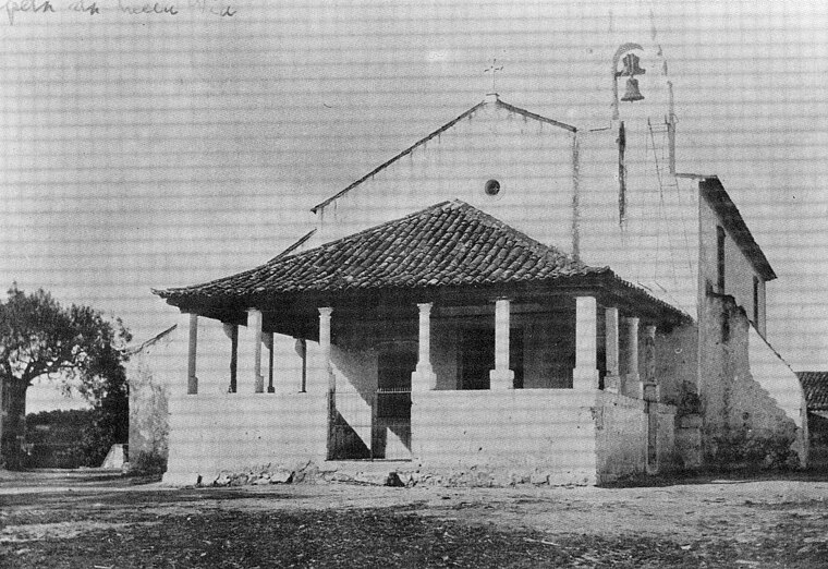
Photo: Meiaviense, CC BY-SA 4.0.
Meia Via is a village, which is situated 4 km east of Delícia Torrejana.
Nossa Senhora de Fátima
Village

Photo: Protectportugal, CC0.
Nossa Senhora de Fátima is a village, which is situated 6 km east of Delícia Torrejana.
Zibreira
Village
Zibreira is a civil parish in Portugal, located within the municipality of Torres Novas, in the Santarém District. It is noted for the Aroeria cave, where the Aroeira 3 skull of a 400,000 year old Homo Heidelbergensis was found, being the oldest trace of human history in Portugal. Zibreira is situated 6 km west of Delícia Torrejana.
Delícia Torrejana
Latitude
39.48507° or 39° 29′ 6″ northLongitude
-8.54268° or 8° 32′ 34″ westOpen location code
8CFHFFP4+2WOpenStreetMap ID
node 1606976132OpenStreetMap feature
amenity=cafe
This page is based on OpenStreetMap, Wikidata, and Wikimedia Commons.
We’d love your help improving our open data sources. Thank you for contributing.
Satellite Map
Discover Delícia Torrejana from above in high-definition satellite imagery.
Notable Places Nearby
Highlights include giga ginasio and Jardim Maria Lamas.
Nearby Places
Explore places such as Homenagem aos Dadores de Sangue and Jardim de Infancia ‘O Palhacinho’.
Portugal: Must-Visit Destinations
Delve into Lisbon, Caldas da Rainha, Porto, and Coimbra.
Curious Cafés to Discover
Uncover intriguing cafés from every corner of the globe.
About Mapcarta. Data © OpenStreetMap contributors and available under the Open Database License". Text is available under the CC BY-SA 4.0 license, except for photos, directions, and the map. Photo: Threeohsix, CC BY-SA 4.0.