Gemeindeamt Rechnitz
Gemeindeamt Rechnitz is a town hall in Rechnitz, Oberwart District, Burgenland which is located on Hauptplatz. Gemeindeamt Rechnitz is situated nearby to the church Katharinenkirche, as well as near the wayside cross Mariensäule Hauptplatz.| Tap on a place to explore it |
Places of Interest Nearby
Highlights include Katharinenkirche and Mariensäule Hauptplatz.

Mariensäule Hauptplatz
Wayside cross

Photo: Stefan Fadinger, CC BY-SA 4.0.
Mariensäule Hauptplatz is a wayside cross.
Schlosspark Rechnitz
Park

Photo: Haeferl, CC BY-SA 4.0.
Schlosspark Rechnitz is situated 290 metres south of Gemeindeamt Rechnitz.
Places in the Area
Nearby places include Bozsok and Velem.
Bozsok
Village

Photo: Pan Peter12, CC BY 3.0.
Bozsok is a village in Vas County, Hungary. It is mentioned in some records from the 13th century. It is near the remains of some Roman water pipes. It lies at the foot of the Kőszeg Mountains on the border with Austria, having Rechnitz on the other side. Bozsok is situated 4 km northeast of Gemeindeamt Rechnitz.
Velem
Village

Photo: Civertan, CC BY-SA 3.0.
Velem is a village in Vas county, Hungary. The village is situated on the slopes of Kőszeg Mountains, at the westernmost tip of the county and the region known as Alpokalja. Velem is notable for its picturesque environment and healthy climate. Velem is situated 6 km northeast of Gemeindeamt Rechnitz.
Dürnbach im Burgenland
Village
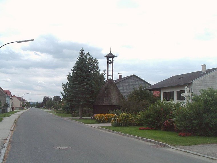
Photo: Wikimedia, Public domain.
Dürnbach im Burgenland is a village, which is situated 6 km southwest of Gemeindeamt Rechnitz.
Gemeindeamt Rechnitz
- Type: Town hall
- Address: Hauptplatz 10, 7471
- Category: government building
- Location: Rechnitz, Oberwart District, Burgenland, Austria, Central Europe, Europe
- View on OpenStreetMap
Latitude
47.30562° or 47° 18′ 20″ northLongitude
16.44021° or 16° 26′ 25″ eastOpen location code
8FVR8C4R+63OpenStreetMap ID
node 1627140967OpenStreetMap feature
amenity=townhall
This page is based on OpenStreetMap, Wikidata, and Wikimedia Commons.
We’d love your help improving our open data sources. Thank you for contributing.
Satellite Map
Discover Gemeindeamt Rechnitz from above in high-definition satellite imagery.
Notable Places Nearby
Highlights include Cafe Rose and Taborkapelle.
Nearby Places
Explore places such as Cafe Bäckerei Gabriel and Rechnitz Hauptplatz.
Burgenland: Must-Visit Destinations
Delve into Eisenstadt, Neusiedl am See, Rust, and Güssing.
Curious Town Halls to Discover
Uncover intriguing town halls from every corner of the globe.
About Mapcarta. Data © OpenStreetMap contributors and available under the Open Database License". Text is available under the CC BY-SA 4.0 license, except for photos, directions, and the map. Photo: Wikimedia, CC BY-SA 4.0.