Rumpel - Die Kellerkneipe
Rumpel - Die Kellerkneipe is a pub in Annaberg-Buchholz, Erzgebirgskreis, Saxony. Rumpel - Die Kellerkneipe is situated nearby to the town hall Rathaus Annaberg, as well as near the clothing store Barbara-Uthmann-Haus.| Tap on a place to explore it |
- Opening hours: 6:00 PM—2:00 AM
- Type: Pub
- Wheelchair access: no
Places of Interest Nearby
Highlights include Rathaus Annaberg and Manufaktur der Träume.
Manufaktur der Träume
Museum
 Manufaktur der Träume is a museum, which is situated 120 metres southwest of Rumpel - Die Kellerkneipe.
St. Anne’s Church
Church

Photo: Wikimedia, CC BY-SA 4.0.
St. Anne's Church in Annaberg-Buchholz is a hall church in the Free State of Saxony, Germany, whose architectural style is on the boundary between the Late Gothic and Saxon Renaissance. St. Anne’s Church is situated 210 metres southeast of Rumpel - Die Kellerkneipe.
Places in the Area
Nearby places include Annaberg-Buchholz and Frohnau.
Annaberg-Buchholz
Town

Photo: Devilsanddust, CC BY-SA 3.0.
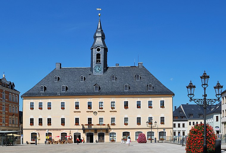
Annaberg-Buchholz is a town in Saxony, in eastern Germany. Lying in the Ore Mountains, it is the capital of the district of Erzgebirgskreis.
Frohnau
Suburb
Frohnau is a village in the Saxon town of Annaberg-Buchholz in the district of Erzgebirgskreis in southeast Germany. The discovery of silver on the Schreckenberg led in 1496 to the foundation of the neighbouring mining town of Annaberg.
Geyersdorf
Suburb

Photo: Devilsanddust, CC BY-SA 3.0.
Geyersdorf is a suburb, which is situated 2½ km east of Rumpel - Die Kellerkneipe.
Rumpel - Die Kellerkneipe
Latitude
50.58017° or 50° 34′ 49″ northLongitude
13.00346° or 13° 0′ 13″ eastOpen location code
9F2MH2J3+39OpenStreetMap ID
node 1673397957OpenStreetMap feature
amenity=pubOpenStreetMap attribute
wheelchair=no
This page is based on OpenStreetMap, Wikidata, and Wikimedia Commons.
We’d love your help improving our open data sources. Thank you for contributing.
Satellite Map
Discover Rumpel - Die Kellerkneipe from above in high-definition satellite imagery.
Notable Places Nearby
Highlights include Barbara-Uthmann-Haus and Markt.
Nearby Places
Explore places such as Mode Marius and Lützendorf.
Saxony: Must-Visit Destinations
Delve into Dresden, Leipzig, Chemnitz, and Meißen.
Curious Pubs to Discover
Uncover intriguing pubs from every corner of the globe.
About Mapcarta. Data © OpenStreetMap contributors and available under the Open Database License". Text is available under the CC BY-SA 4.0 license, except for photos, directions, and the map. Photo: Taxiarchos228, FAL.