Mögebierstollen
Mögebierstollen is an adit in Lower Saxony, Germany. Access is restricted and requires permission. Mögebierstollen is situated nearby to the peak Sandkopf, as well as near the memorial Eltendenkmal.| Tap on a place to explore it |
- Access is restricted and requires permission.
- Type: Adit
- Also known as: “Unterer Deisterstollen”
Places of Interest Nearby
Highlights include Eltendenkmal and Anna-Tower.
Eltendenkmal
Memorial

Photo: Fitsche, CC BY-SA 3.0.
Eltendenkmal is a memorial, which is situated 650 metres west of Mögebierstollen.
Anna-Tower
Scenic viewpoint
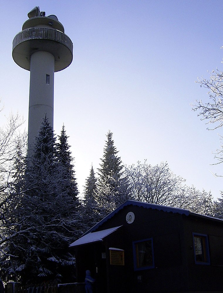
Photo: Tortuosa, CC BY-SA 3.0.
Anna-Tower is a scenic viewpoint, which is situated 2½ km west of Mögebierstollen.
Wasserpark Wennigsen
Water park

Photo: CM3015, CC BY-SA 3.0.
Wasserpark Wennigsen is a water park, which is situated 2½ km northeast of Mögebierstollen.
Places in the Area
Nearby places include Waldkater and Georgsplatz.


Argestorf
Suburb

Photo: CM3015, CC BY-SA 3.0.
Argestorf is a suburb, which is situated 3 km northeast of Mögebierstollen.
Mögebierstollen
- Categories: historic site and industry
- Location: Lower Saxony, Germany, Central Europe, Europe
- View on OpenStreetMap
Latitude
52.25009° or 52° 15′ 0″ northLongitude
9.54294° or 9° 32′ 35″ eastOpen location code
9F4F7G2V+25OpenStreetMap ID
node 1675677563OpenStreetMap feature
historic=yesOpenStreetMap feature
man_made=adit
This page is based on OpenStreetMap, Wikidata, and Wikimedia Commons.
We’d love your help improving our open data sources. Thank you for contributing.
Satellite Map
Discover Mögebierstollen from above in high-definition satellite imagery.
Notable Places Nearby
Highlights include Sandkopf and 1754-1954 Wennigsen--Argestorfer Genossenschaftsforst.
Nearby Places
Explore places such as Mögebierstollen and Bismark Eiche.
Lower Saxony: Must-Visit Destinations
Delve into Hanover, Göttingen, Brunswick, and Wolfsburg.
Curious Adits to Discover
Uncover intriguing adits from every corner of the globe.
About Mapcarta. Data © OpenStreetMap contributors and available under the Open Database License". Text is available under the CC BY-SA 4.0 license, except for photos, directions, and the map. Photo: Danapit, CC BY-SA 3.0.