Pen Foënnec
Pen Foënnec is a hamlet in Poullan-sur-Mer, Arrondissement of Quimper, Brittany. Pen Foënnec is situated nearby to the hamlet Pen an Allée, as well as near Kerdaniel.| Tap on a place to explore it |
Places of Interest
Highlights include Lesconil gallery grave and Chapelle Saint-Jean de Tréboul.
Lesconil gallery grave
Archaeological site

Photo: Raphodon, CC BY-SA 3.0.
Lesconil gallery grave is an archaeological site.
Chapelle Saint-Jean de Tréboul
Church
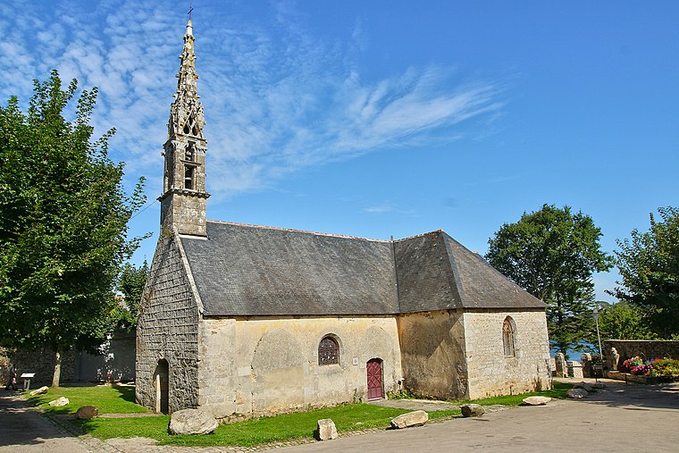
Photo: DomFelga, CC BY-SA 4.0.
Chapelle Saint-Jean de Tréboul is a church.

Places in the Area
Nearby places include Tréboul and Douarnenez.

Douarnenez

Photo: ZiYouXunLu, CC BY-SA 4.0.
Douarnenez, is a commune in the French department of Finistère, region of Brittany, northwestern France. It is located at the mouth of the Pouldavid River, an estuary on the southern shore of Douarnenez Bay in the Atlantic Ocean, 25 kilometres north-west of Quimper.
Pouldavid-sur-Mer
Village

Photo: GO69, CC BY-SA 3.0.
Pouldavid-sur-Mer is a village, which is situated 3 km southeast of Pen Foënnec.
Pen Foënnec
- Type: Hamlet
- Category: locality
- Location: Poullan-sur-Mer, Arrondissement of Quimper, Finistère, Brittany, France, Europe
- View on OpenStreetMap
Latitude
48.092° or 48° 5′ 31″ northLongitude
-4.36501° or 4° 21′ 54″ westOpen location code
8CWQ3JRM+QXOpenStreetMap ID
node 1679111357OpenStreetMap feature
place=hamlet
This page is based on OpenStreetMap, Wikidata, and Wikimedia Commons.
We’d love your help improving our open data sources. Thank you for contributing.
Satellite Map
Discover Pen Foënnec from above in high-definition satellite imagery.
In Other Languages
“Pen Foënnec” goes by many names.
- Breton: “Penfoenneg”
Localities in the Area
Explore places such as Pen an Allée and Kerdaniel.
Notable Places Nearby
Highlights include Aire Camping-car Park Douarnenez and Le Bois d’Isis.
Brittany: Must-Visit Destinations
Delve into Rennes, Brest, Finistère, and Morbihan.
Curious Hamlets to Discover
Uncover intriguing hamlets from every corner of the globe.
About Mapcarta. Data © OpenStreetMap contributors and available under the Open Database License". Text is available under the CC BY-SA 4.0 license, except for photos, directions, and the map. Photo: Spendeau, CC BY-SA 3.0.