Templo de Nuestra Señora de los Remedios
Templo de Nuestra Señora de los Remedios is a church in Zapopan Municipality, Jalisco. Templo de Nuestra Señora de los Remedios is situated nearby to the shopping center Plaza las Fuentes, as well as near the park Parque Pinar de la Calma.| Tap on a place to explore it |
Places of Interest Nearby
Highlights include Periférico Sur and Santuario Mártires de Cristo Rey light rail station.
Periférico Sur
Railway stop

Photo: Elmerhomerochombo, CC BY-SA 4.0.
Periférico Sur is a railway stop, which is situated 2½ km southeast of Templo de Nuestra Señora de los Remedios.
Santuario Mártires de Cristo Rey light rail station
Railway stop
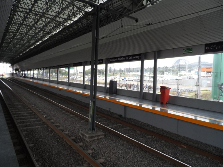
Photo: Elmerhomerochombo, CC BY-SA 4.0.
Santuario Mártires de Cristo Rey is the nineteenth station from north to south, and the second in the opposite direction, of Line 1 of the Sistema de Tren Eléctrico Urbano in Guadalajara, Mexico. Santuario Mártires de Cristo Rey light rail station is situated 2½ km east of Templo de Nuestra Señora de los Remedios.
España
Railway stop

Photo: Elmerhomerochombo, CC BY-SA 4.0.
España is a railway stop, which is situated 3½ km east of Templo de Nuestra Señora de los Remedios.
Templo de Nuestra Señora de los Remedios
- Type: Church
- Denomination: Catholic
- Categories: place of worship and religion
- Location: Zapopan Municipality, Jalisco, Pacific Coast, Mexico, North America
- View on OpenStreetMap
Latitude
20.61889° or 20° 37′ 8″ northLongitude
-103.42096° or 103° 25′ 16″ westOpen location code
75GRJH9H+HJOpenStreetMap ID
node 1685319162OpenStreetMap feature
amenity=place_of_worshipOpenStreetMap attribute
denomination=catholic
This page is based on OpenStreetMap, Wikidata, and Wikimedia Commons.
We’d love your help improving our open data sources. Thank you for contributing.
Satellite Map
Discover Templo de Nuestra Señora de los Remedios from above in high-definition satellite imagery.
Notable Places Nearby
Highlights include Plaza las Fuentes and Parque Pinar de la Calma.
Nearby Places
Explore places such as Primaria Gustavo Díaz Ordaz and Jardín de Niños Cesarina Gaona Ruiz.
Jalisco: Must-Visit Destinations
Delve into Guadalajara, Puerto Vallarta, Tequila, and Tepatitlan.
Curious Churches to Discover
Uncover intriguing churches from every corner of the globe.
About Mapcarta. Data © OpenStreetMap contributors and available under the Open Database License". Text is available under the CC BY-SA 4.0 license, except for photos, directions, and the map. Photo: Davalemacmar, CC BY-SA 3.0.