Böllsteiner Höhe
Böllsteiner Höhe is a peak in Brombachtal, Odenwaldkreis, Hesse and has an elevation of 416 metres. Böllsteiner Höhe is situated nearby to the hamlet Gersprenz, as well as near the locality Am Wendehammer.| Tap on a place to explore it |
Places of Interest
Highlights include Burg Schnellerts and Spreng.

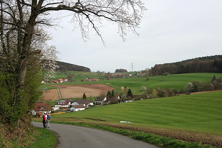
Beerfurther Schloesschen
Castle

Photo: Haselburg-müller, CC BY-SA 3.0.
Beerfurther Schloesschen is a castle.
Places in the Area
Nearby places include Birkert and Vierstöck.


Böllsteiner Höhe
- Type: Peak with an elevation of 416 metres
- Category: landform
- Location: Brombachtal, Odenwaldkreis, South Hesse, Hesse, Germany, Central Europe, Europe
- View on OpenStreetMap
Latitude
49.7398° or 49° 44′ 23″ northLongitude
8.9207° or 8° 55′ 14″ eastElevation
416 metres (1,365 feet)Open location code
8FXCPWQC+W7OpenStreetMap ID
node 1713322527OpenStreetMap feature
natural=peak
This page is based on OpenStreetMap, Wikidata, and Wikimedia Commons.
We’d love your help improving our open data sources. Thank you for contributing.
Satellite Map
Discover Böllsteiner Höhe from above in high-definition satellite imagery.
Localities in the Area
Explore places such as Böllstein and Gersprenz.
Notable Places Nearby
Highlights include Freiw. Feuerwehr Brombachtal and Trauerhalle.
South Hesse: Must-Visit Destinations
Delve into Darmstadt, Bensheim, Lorsch, and Heppenheim.
Curious Peaks to Discover
Uncover intriguing peaks from every corner of the globe.
About Mapcarta. Data © OpenStreetMap contributors and available under the Open Database License". Text is available under the CC BY-SA 4.0 license, except for photos, directions, and the map. Photo: Mylius, GFDL.