10η ΣΤΑΣΗ
10η ΣΤΑΣΗ is a bus stop in Ilio, Athens Prefecture, Attica. 10η ΣΤΑΣΗ is situated nearby to the square Πλατεία Άρη Βελουχιώτη, as well as near Pyrgos Vasilissis railway station.| Tap on a place to explore it |
Places of Interest Nearby
Highlights include Pyrgos Vasilissis railway station and Lake Asopiada.
Pyrgos Vasilissis railway station
Railway station
Pyrgos Vasilissis railway station is a station on the Piraeus–Platy railway line in Agioi Anargyroi, a suburb in municipality of Agioi Anargyroi-Kamatero, in the regional unit of West Athens, Attica, Greece. Pyrgos Vasilissis railway station is situated 150 metres west of 10η ΣΤΑΣΗ.
Lake Asopiada
Pond

Photo: Wikimedia, CC BY-SA 4.0.
Lake Asopiada is a pond, which is situated 1 km northwest of 10η ΣΤΑΣΗ.
National Rehabilitation Center
Hospital

Photo: MARIOS KALYVIOTIS, CC BY-SA 4.0.
National Rehabilitation Center is a hospital, which is situated 1½ km northwest of 10η ΣΤΑΣΗ.
Places in the Area
Nearby places include Prompona and Agioi Anargyroi.
Prompona
Neighborhood
Probonas or Promponas is a northern neighborhood of Athens, Greece. Probonas is the northernmost neighborhood of Athens, located on its north-west angle.
Agioi Anargyroi
Suburb

Photo: Dimorsitanos, CC BY-SA 4.0.
Agioi Anargyroi is a suburban town in the north-central part of the Athens agglomeration, Greece. It takes its name from the "Holy Unmercenaries": saints who received no payment for their medical services.
Nea Liosia
Suburb
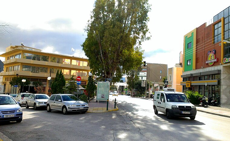
Photo: Dimorsitanos, CC BY-SA 3.0.
Ilion is a town and a suburb in the western part of the Athens agglomeration, Greece.
10η ΣΤΑΣΗ
- Type: Bus stop
- Category: transportation
- Location: Ilio, Athens Prefecture, Attica, Greece, Balkans, Europe
- View on OpenStreetMap
Latitude
38.04021° or 38° 2′ 25″ northLongitude
23.7291° or 23° 43′ 45″ eastOperator
ΟΑΣΑNetwork
Transport for AthensOpen location code
8GC52PRH+3JOpenStreetMap ID
node 1720231334OpenStreetMap feature
highway=bus_stopOpenStreetMap feature
public_transport=platform
This page is based on OpenStreetMap, Wikidata, and Wikimedia Commons.
We’d love your help improving our open data sources. Thank you for contributing.
Satellite Map
Discover 10η ΣΤΑΣΗ from above in high-definition satellite imagery.
Notable Places Nearby
Highlights include Πλατεία Άρη Βελουχιώτη and Ανοιχτό γήπεδο μπάσκετ.
Nearby Places
Explore places such as ΣΤΑΣΗ ΠΡΟΑΣΤΙΑΚΟΥ ΠΥΡΓΟΣ ΒΑΣΙΛΙΣΣΗΣ and Galaxias.
Greece: Must-Visit Destinations
Delve into Athens, Thessaloniki, Lesvos, and Arcadia.
Curious Bus Stops to Discover
Uncover intriguing bus stops from every corner of the globe.
About Mapcarta. Data © OpenStreetMap contributors and available under the Open Database License". Text is available under the CC BY-SA 4.0 license, except for photos, directions, and the map. Photo: Ggia, CC BY-SA 3.0.