Süllkreuzhütte
Süllkreuzhütte is a shelter in Lower Saxony, Germany. Süllkreuzhütte is situated nearby to the peak Breitehorn, as well as near the village Unterlüß.| Tap on a place to explore it |
Places of Interest Nearby
Highlights include Albert-König-Museum and Christuskirche.
Albert-König-Museum
Museum

Photo: Hajotthu, CC BY-SA 3.0.
Albert-König-Museum is situated 3 km southeast of Süllkreuzhütte.
Christuskirche
Church

Photo: GregorHelms, CC BY-SA 3.0.
Christuskirche is a church, which is situated 2½ km east of Süllkreuzhütte.
Gedenkstätte Unterlüß
Memorial

Photo: Hajotthu, CC BY-SA 3.0.
Gedenkstätte Unterlüß is a memorial, which is situated 2½ km east of Süllkreuzhütte.
Places in the Area
Nearby places include Unterlüß and Lutterloh.
Unterlüß
Village
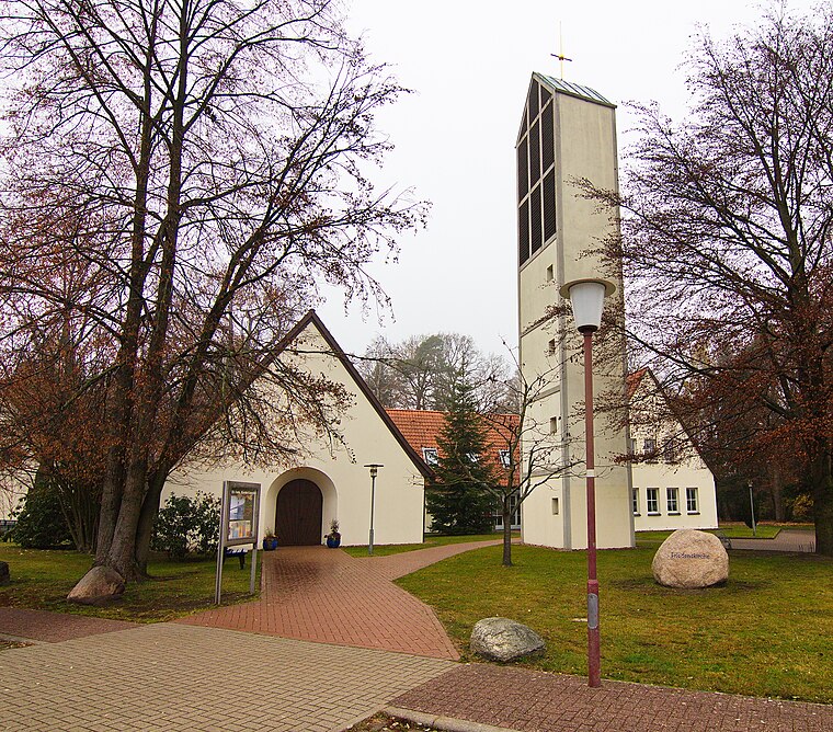
Photo: Losch, CC BY-SA 3.0.
Unterlüß is a village and former municipality in the district of Celle in Lower Saxony, Germany. It became part of the municipality of Südheide on 1 January 2015. Unterlüß is situated 3 km east of Süllkreuzhütte.
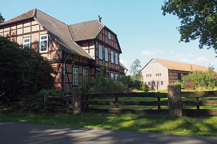
Lutterloh
Village

Photo: Hajotthu, CC BY-SA 3.0.
Lutterloh is a village, which is situated 3½ km southwest of Süllkreuzhütte.
Süllkreuzhütte
- Type: Shelter
- Location: Lower Saxony, Germany, Central Europe, Europe
- View on OpenStreetMap
Latitude
52.84237° or 52° 50′ 33″ northLongitude
10.25474° or 10° 15′ 17″ eastOpen location code
9F4GR7R3+WVOpenStreetMap ID
node 1737537297OpenStreetMap feature
amenity=shelter
This page is based on OpenStreetMap, Wikidata, and Wikimedia Commons.
We’d love your help improving our open data sources. Thank you for contributing.
Satellite Map
Discover Süllkreuzhütte from above in high-definition satellite imagery.
Notable Places Nearby
Highlights include Breitehorn and Freizeitzentrum Unterlüß.
Nearby Places
Explore places such as Kalte Hofstube and Lutterloh, Neu Lutterloh.
Lower Saxony: Must-Visit Destinations
Delve into Hanover, Göttingen, Brunswick, and Wolfsburg.
Curious Shelters to Discover
Uncover intriguing shelters from every corner of the globe.
About Mapcarta. Data © OpenStreetMap contributors and available under the Open Database License". Text is available under the CC BY-SA 4.0 license, except for photos, directions, and the map. Photo: Danapit, CC BY-SA 3.0.