les glaces de Florine
les glaces de Florine is an ice cream parlor in Agde, Arrondissement of Béziers, Occitanie. les glaces de Florine is situated nearby to Quai Di Dominico, as well as near La Grande Roue.| Tap on a place to explore it |
Places of Interest Nearby
Highlights include Église Saint-Benoît au Cap d’Agde and Tour des Anglais.
Église Saint-Benoît au Cap d’Agde
Church

Photo: Spedona, CC BY-SA 4.0.
Église Saint-Benoît au Cap d’Agde is a church, which is situated 430 metres northeast of les glaces de Florine.
Tour des Anglais
Building
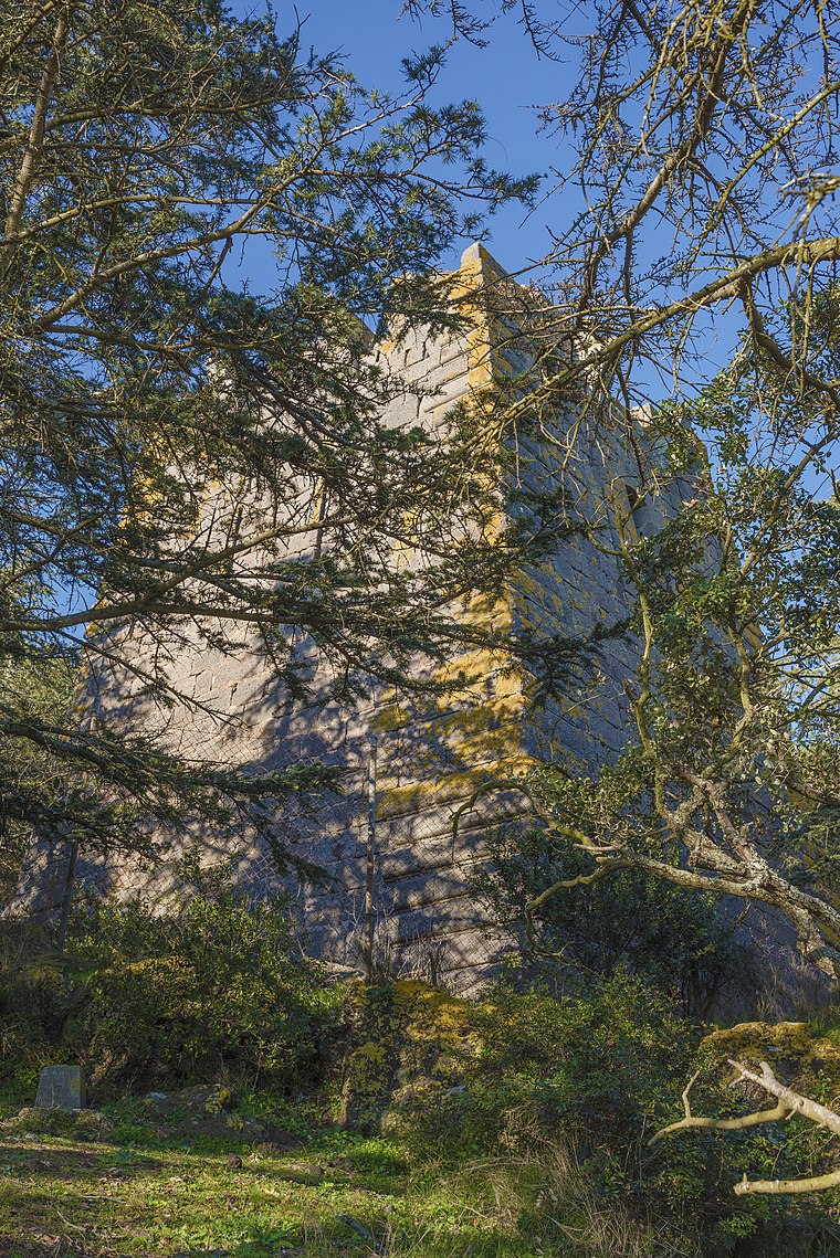
Photo: Christian Ferrer, CC BY-SA 4.0.
Tour des Anglais is a building, which is situated 1½ km north of les glaces de Florine.
Ancien phare du Mont-Saint-Loup
Building

Photo: Tournasol7, CC BY-SA 3.0.
Ancien phare du Mont-Saint-Loup is a building, which is situated 1½ km north of les glaces de Florine.
Places in the Area
Nearby places include Le Cap D’Agde and Le Grau d’Agde.
Le Cap D’Agde
Suburb

Photo: Alex699, CC BY-SA 3.0.
Cap d'Agde is a seaside resort on France's Mediterranean coast. It is located in the commune of Agde, in the Hérault department within the region of Occitanie.
Le Grau d’Agde
Suburb

Photo: Wh160, CC BY-SA 4.0.
Le Grau d’Agde is a suburb, which is situated 4 km west of les glaces de Florine.
Agde
Town

Photo: Awd, CC BY-SA 3.0.
Agde is a resort town and commune in the southern French department of Hérault, Occitania. It is the Mediterranean port of the Canal du Midi. It is situated on an ancient basalt volcano, hence being nicknamed "Black Pearl of the Mediterranean". Agde is situated 4½ km northwest of les glaces de Florine.
les glaces de Florine
- Type: Ice cream parlor
- Wheelchair access: limited
- Category: food
- Location: Agde, Arrondissement of Béziers, Hérault, Occitanie, France, Europe
- View on OpenStreetMap
Latitude
43.28462° or 43° 17′ 5″ northLongitude
3.50912° or 3° 30′ 33″ eastOpen location code
8FM57GM5+RJOpenStreetMap ID
node 1739857593OpenStreetMap feature
amenity=ice_creamOpenStreetMap attribute
wheelchair=limited
This page is based on OpenStreetMap, Wikidata, and Wikimedia Commons.
We’d love your help improving our open data sources. Thank you for contributing.
Satellite Map
Discover les glaces de Florine from above in high-definition satellite imagery.
Notable Places Nearby
Highlights include Quai Di Dominico and La Grande Roue.
Nearby Places
Explore places such as Sage... mais pas trop and Terracota.
Hérault: Must-Visit Destinations
Delve into Montpellier, Béziers, Sète, and Bouzigues.
Curious Ice Cream Parlors to Discover
Uncover intriguing ice cream parlors from every corner of the globe.
About Mapcarta. Data © OpenStreetMap contributors and available under the Open Database License". Text is available under the CC BY-SA 4.0 license, except for photos, directions, and the map. Photo: Ondřej Žváček, CC BY 2.5.