Weinberg-Krug
Weinberg-Krug is a bar in Kassel, North Hesse, Hesse which is located on Frankfurter Straße. Weinberg-Krug is situated nearby to the park Weinbergterrassen, as well as near Museum für Sepulkralkultur, Kassel.| Tap on a place to explore it |
- Opening hours: Tuesday—Saturday 9:00 PM—2:00 AM or later
- Email: kassel@weinbergkrug.de
- Type: Bar
- Address: Frankfurter Straße 54, Kassel, 34121
Places of Interest Nearby
Highlights include Museum für Sepulkralkultur, Kassel and Grimmwelt Kassel.
Museum für Sepulkralkultur, Kassel
Museum
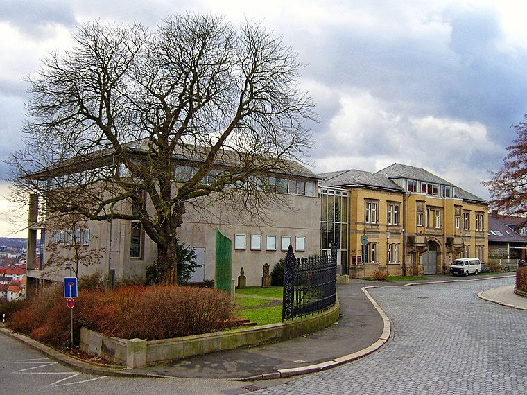
Photo: Carroy, CC BY-SA 2.5.
Museum für Sepulkralkultur, Kassel is situated 180 metres north of Weinberg-Krug.
Grimmwelt Kassel
Museum
 Grimmwelt Kassel is a museum, which is situated 220 metres northeast of Weinberg-Krug.
Kunsthochschule Kassel
University

Photo: Baummapper, CC BY-SA 3.0 de.
Kunsthochschule Kassel is a college of fine arts in Kassel, Germany. Founded in 1777, it is a semi-autonomous department of the University of Kassel. Kunsthochschule Kassel is situated 340 metres south of Weinberg-Krug.
Places in the Area
Nearby places include Schillerviertel and Vorderer Westen.


Rothenberg estate
Neighborhood

Photo: Rendor Thuces Al’Nachkar, CC BY-SA 4.0.
Rothenberg estate is a neighborhood.
Weinberg-Krug
- Location: Kassel, Kassel, North Hesse, Hesse, Germany, Central Europe, Europe
- View on OpenStreetMap
Latitude
51.30744° or 51° 18′ 27″ northLongitude
9.48758° or 9° 29′ 15″ eastOpen location code
9F3F8F4Q+X2OpenStreetMap ID
node 1759807153OpenStreetMap feature
amenity=bar
This page is based on OpenStreetMap, Wikidata, and Wikimedia Commons.
We’d love your help improving our open data sources. Thank you for contributing.
Satellite Map
Discover Weinberg-Krug from above in high-definition satellite imagery.
Notable Places Nearby
Highlights include Weinbergterrassen and Weinberg.
Nearby Places
Explore places such as Asals Café and Am Weinberg.
North Hesse: Must-Visit Destinations
Delve into Wetzlar, Marburg, Fulda, and Gießen.
Curious Bars to Discover
Uncover intriguing bars from every corner of the globe.
About Mapcarta. Data © OpenStreetMap contributors and available under the Open Database License". Text is available under the CC BY-SA 4.0 license, except for photos, directions, and the map. Photo: Dirk Schmidt, CC BY-SA 3.0.