Zweirad Engels
Zweirad Engels is a bike shop in Dortmund, Arnsberg, North Rhine-Westphalia. Zweirad Engels is situated nearby to the church Verheißungskirche, as well as near the community center Kinder- und Jugendtreff Kirchlinde.| Tap on a place to explore it |
- Opening hours:
Monday and Tuesday: 2:00 PM—6:30 PM
Wednesday—Friday: 10:00 AM—1:00 PM and 2:00 PM—6:30 PM
Saturday: 10:00 AM—2:00 PM - Email: info@zweirad-engels.de
- Type: Bike shop
- Wheelchair access: yes
Places of Interest Nearby
Highlights include St. Josef and Dortmund-Marten station.

Dortmund-Marten station
Railway station

Photo: Stefan Flöper, CC BY-SA 4.0.
Dortmund-Marten station is a railway station in the Marten district of the town of Dortmund, located in North Rhine-Westphalia, Germany. It is classified by Deutsche Bahn as a category 6 station and was opened on 30 May 1964. Dortmund-Marten station is situated 1 km south of Zweirad Engels.
Bert-Brecht-Gymnasium
School
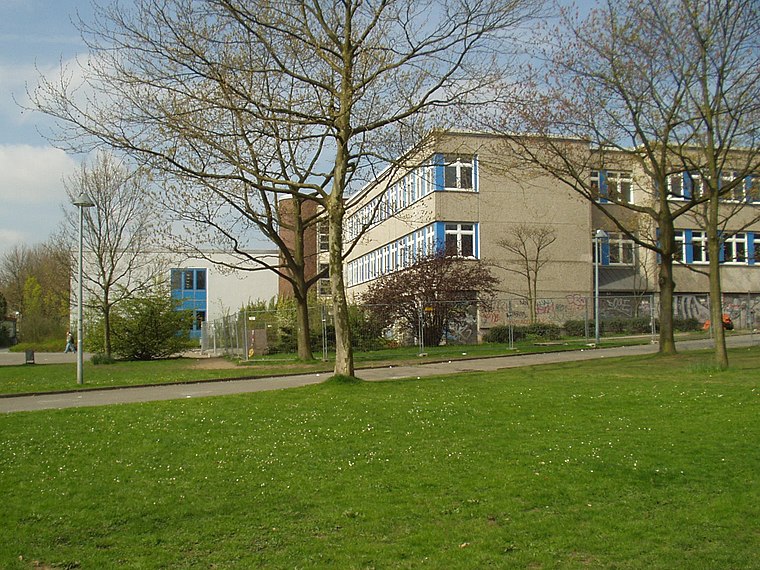
Photo: Wikimedia, CC BY-SA 3.0.
Bert-Brecht-Gymnasium is a school, which is situated 1 km southwest of Zweirad Engels.
Places in the Area
Nearby places include Westerfilde and Kolonie Landwehr.

Kolonie Landwehr
Neighborhood
 Kolonie Landwehr is a neighborhood, which is situated 3 km west of Zweirad Engels.
Huckarde
Suburb

Photo: Tbachner, Public domain.
Huckarde is a suburb, which is situated 3 km east of Zweirad Engels.
Zweirad Engels
- Category: shop
- Location: Dortmund, Arnsberg, Ruhr, North Rhine-Westphalia, Germany, Central Europe, Europe
- View on OpenStreetMap
Latitude
51.52287° or 51° 31′ 22″ northLongitude
7.37203° or 7° 22′ 19″ eastOpen location code
9F39G9FC+4ROpenStreetMap ID
node 1762516048OpenStreetMap feature
shop=bicycleOpenStreetMap attribute
wheelchair=yes
This page is based on OpenStreetMap, Wikidata, and Wikimedia Commons.
We’d love your help improving our open data sources. Thank you for contributing.
Satellite Map
Discover Zweirad Engels from above in high-definition satellite imagery.
Notable Places Nearby
Highlights include Verheißungskirche and Kinder- und Jugendtreff Kirchlinde.
Nearby Places
Explore places such as Eiscafé da Marco and Lindenapotheke.
Ruhr: Must-Visit Destinations
Delve into Essen, Duisburg, Bochum, and Gelsenkirchen.
Curious Bike Shops to Discover
Uncover intriguing bike shops from every corner of the globe.
About Mapcarta. Data © OpenStreetMap contributors and available under the Open Database License". Text is available under the CC BY-SA 4.0 license, except for photos, directions, and the map. Photo: DortmunderWestfront, CC BY-SA 3.0.