Stand de Tir de Verdun
Stand de Tir de Verdun is a shooting stand in Verdun, Meuse, Grand Est. Stand de Tir de Verdun is situated nearby to the pitch Moto club Verdun - La Valtoline, as well as near the ruins Caserne Marceau.| Tap on a place to explore it |
Places of Interest Nearby
Highlights include Fort Saint-Michel and Fort Souville.

Fort Souville
Ruins

Photo: Goug, CC BY-SA 3.0.
Fort Souville, briefly called Fort Lemoine, was one of the forts of the Verdun Fortification District, situated in the commune of Fleury-devant-Douaumont. Fort Souville is situated 2½ km north of Stand de Tir de Verdun.
Gare de Verdun
Railway station
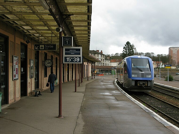
Photo: Christianwalter, CC BY-SA 3.0.
Gare de Verdun is a railway station, which is situated 3½ km west of Stand de Tir de Verdun.
Stand de Tir de Verdun
- Type: Shooting stand
- Location: Verdun, Arrondissement of Verdun, Meuse, Grand Est, France, Europe
- View on OpenStreetMap
Latitude
49.16785° or 49° 10′ 4″ northLongitude
5.42686° or 5° 25′ 37″ eastOpen location code
8FX75C9G+4POpenStreetMap ID
node 1771486716OpenStreetMap feature
amenity=hunting_stand
This page is based on OpenStreetMap, Wikidata, and Wikimedia Commons.
We’d love your help improving our open data sources. Thank you for contributing.
Satellite Map
Discover Stand de Tir de Verdun from above in high-definition satellite imagery.
Notable Places Nearby
Highlights include Moto club Verdun - La Valtoline and Caserne Marceau.
Nearby Places
Explore places such as Léonard Volailles and Berni.
Grand Est: Must-Visit Destinations
Delve into Strasbourg, Reims, Metz, and Nancy.
Curious Shooting Stands to Discover
Uncover intriguing shooting stands from every corner of the globe.
About Mapcarta. Data © OpenStreetMap contributors and available under the Open Database License". Text is available under the CC BY-SA 4.0 license, except for photos, directions, and the map. Photo: Duhjeroen, Public domain.