Wiedhackkreuz
Wiedhackkreuz is a peak in Ottnang am Hausruck, Vöcklabruck District, Upper Austria and has an elevation of 753 metres. Wiedhackkreuz is situated nearby to the hamlet Wassenbrunn, as well as near Vorderarming.| Tap on a place to explore it |
Places of Interest
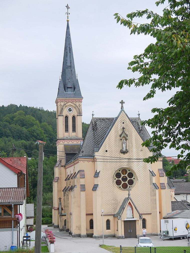
Highlights include Bruckmuehl Parish Church.
Wiedhackkreuz
- Type: Peak with an elevation of 753 metres
- Category: landform
- Location: Ottnang am Hausruck, Vöcklabruck District, Upper Austria, Austria, Central Europe, Europe
- View on OpenStreetMap
Latitude
48.1249° or 48° 7′ 30″ northLongitude
13.6323° or 13° 37′ 56″ eastElevation
753 metres (2,470 feet)Open location code
8FWM4JFJ+XWOpenStreetMap ID
node 1791745395OpenStreetMap feature
natural=peak
This page is based on OpenStreetMap, Wikidata, and Wikimedia Commons.
We’d love your help improving our open data sources. Thank you for contributing.
Satellite Map
Discover Wiedhackkreuz from above in high-definition satellite imagery.
Localities in the Area
Explore places such as Wassenbrunn and Vorderarming.
Notable Places Nearby
Highlights include Bahnhof Scheiben and Kohlebahnhof Scheiben.
Upper Austria: Must-Visit Destinations
Delve into Linz, Hallstatt, Wels, and Steyr.
Curious Peaks to Discover
Uncover intriguing peaks from every corner of the globe.
About Mapcarta. Data © OpenStreetMap contributors and available under the Open Database License". Text is available under the CC BY-SA 4.0 license, except for photos, directions, and the map. Photo: Traveler100, CC BY-SA 3.0.