König Ludwig II. Brunnen
König Ludwig II. Brunnen is a fountain in Grassau, Traunstein, Bavaria. König Ludwig II. Brunnen is situated nearby to the tourism office Tourist-Information Grassau & Rottau, as well as near the restaurant Gasthof zur Post (Grassau).| Tap on a place to explore it |
Places of Interest Nearby
Highlights include Mariä Himmelfahrt and Reifinger See.
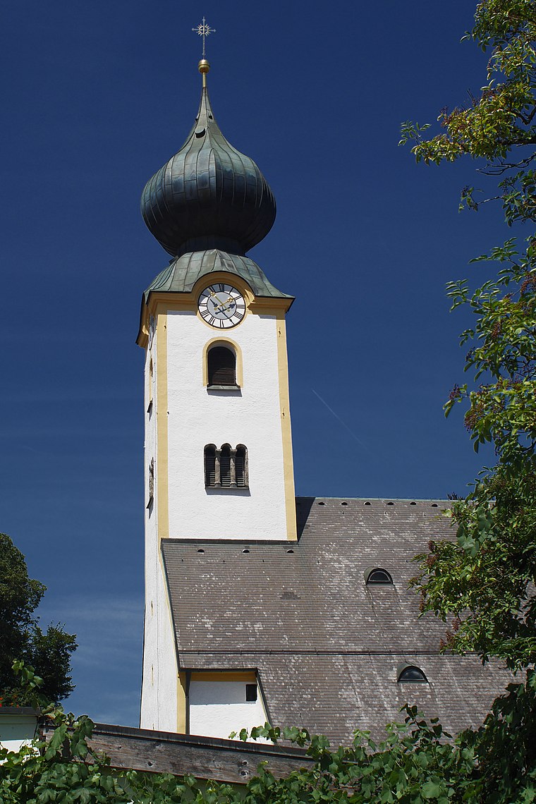
Schnappenberg
Peak

Photo: Wikimedia, CC BY-SA 3.0.
Schnappenberg is a mountain in Bavaria, Germany. Schnappenberg is situated 3 km southeast of König Ludwig II. Brunnen.
Places in the Area
Nearby places include Marquartstein and Rottau.
Marquartstein
Village
 Marquartstein is a municipality in the southeastern part of Bavaria, Germany and is part of the Verwaltungsgemeinschaft Marquartstein and Staudach-Egerndach.
Rottau
Village

Photo: Pixelteufel, CC BY 2.0.
Rottau is a village, which is situated 3 km northwest of König Ludwig II. Brunnen.
Raiten
Village

Photo: Rufus46, CC BY-SA 3.0.
Raiten is a village, which is situated 4½ km south of König Ludwig II. Brunnen.
König Ludwig II. Brunnen
- Type: Fountain
- Wheelchair access: yes
- Location: Grassau, Traunstein, Upper Bavaria, Bavaria, Germany, Central Europe, Europe
- View on OpenStreetMap
Latitude
47.77921° or 47° 46′ 45″ northLongitude
12.45064° or 12° 27′ 2″ eastOpen location code
8FVJQFH2+M7OpenStreetMap ID
node 1844963780OpenStreetMap feature
amenity=fountainOpenStreetMap attribute
wheelchair=yes
This page is based on OpenStreetMap, Wikidata, and Wikimedia Commons.
We’d love your help improving our open data sources. Thank you for contributing.
Satellite Map
Discover König Ludwig II. Brunnen from above in high-definition satellite imagery.
Notable Places Nearby
Highlights include Tourist-Information Grassau & Rottau and Gasthof zur Post (Grassau).
Nearby Places
Explore places such as Dr. med. Anita Dallmann-Kusche and Metzgerei Max Kuba.
Upper Bavaria: Must-Visit Destinations
Delve into Munich, Ingolstadt, Dachau, and Rosenheim.
Curious Fountains to Discover
Uncover intriguing fountains from every corner of the globe.
About Mapcarta. Data © OpenStreetMap contributors and available under the Open Database License". Text is available under the CC BY-SA 4.0 license, except for photos, directions, and the map. Photo: Aconcagua, CC BY-SA 3.0.