Plan-passon
Plan-passon is a locality in Collonges, Saint-Maurice District, Valais. Plan-passon is situated nearby to the locality Plan Essert, as well as near Plan du Pré.| Tap on a place to explore it |
Places of Interest
Highlights include Dent de Morcles and Fort de Dailly.
Dent de Morcles
Peak

Photo: Espandero, CC BY-SA 4.0.
The Dent de Morcles is a 2,969 metres high mountain located at western end of the Bernese Alps, overlooking the Rhone between Martigny and St. Maurice. Dent de Morcles is situated 2½ km northeast of Plan-passon.
Fort de Dailly
Bunker

Photo: Sylenius, CC BY-SA 4.0.
The Fort de Dailly is the largest component of Fortress Saint-Maurice, which is in turn one of the three principal fortified regions of the National Redoubt of Switzerland. Fort de Dailly is situated 2½ km northwest of Plan-passon.
Evionnaz railway station
Railway stop
 Evionnaz railway station is a railway station in the municipality of Evionnaz, in the Swiss canton of Valais. It is an intermediate stop on the Simplon line and is served by local trains only. Evionnaz railway station is situated 2½ km southwest of Plan-passon.
Places in the Area
Nearby places include Evionnaz and Morcles.
Evionnaz
Village

Photo: Etienne.bagnoud, CC BY-SA 3.0.
Evionnaz is a municipality in the district of Saint-Maurice in the canton of Valais in Switzerland.
Morcles
Village
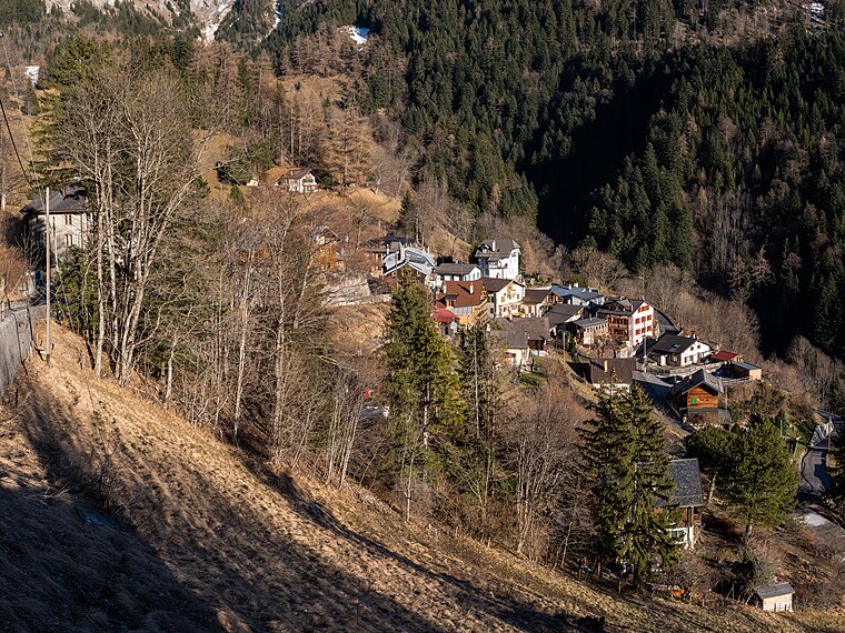
Photo: Espandero, CC BY-SA 4.0.
Morcles is a village and former municipality in the district of Aigle in the canton of Vaud, Switzerland. It was first recorded in year 1043 as Morcles.
Lavey-les-Bains
Village
Lavey-les-Bains is a village in the district of Aigle in the canton of Vaud, Switzerland. Lavey-les-Bains is located in the former municipality Lavey. In 1852 Lavey municipality merged with its neighbor to form a new and larger municipality Lavey-Morcles. Lavey-les-Bains is situated 3 km northwest of Plan-passon.
Plan-passon
- Type: Locality
- Location: Collonges, Saint-Maurice District, Valais, Switzerland, Central Europe, Europe
- View on OpenStreetMap
Latitude
46.18832° or 46° 11′ 18″ northLongitude
7.04609° or 7° 2′ 46″ eastOpen location code
8FR952QW+8COpenStreetMap ID
node 1855148816OpenStreetMap feature
place=locality
This page is based on OpenStreetMap, Wikidata, and Wikimedia Commons.
We’d love your help improving our open data sources. Thank you for contributing.
Satellite Map
Discover Plan-passon from above in high-definition satellite imagery.
Localities in the Area
Explore places such as Plan Essert and Plan du Pré.
Notable Places Nearby
Highlights include Virage 19 and Dents de Morcles.
Valais: Must-Visit Destinations
Delve into Sion, Zermatt, Martigny, and Brig.
Curious Localities to Discover
Uncover intriguing localities from every corner of the globe.
About Mapcarta. Data © OpenStreetMap contributors and available under the Open Database License". Text is available under the CC BY-SA 4.0 license, except for photos, directions, and the map. Photo: Debugman, CC BY 3.0.