Henrys Sandbar
Henrys Sandbar is a bar in Kerpen, Rhein-Erft-Kreis, North Rhine-Westphalia which is located on Kerpener Straße. Henrys Sandbar is situated nearby to the amusement arcade Game Night, as well as near Hotel Europarc.| Tap on a place to explore it |
- Type: Bar
- Address: Kerpener Straße 175, Kerpen, 50170
- Wheelchair access: limited
Places of Interest Nearby
Highlights include Sindorf station and Christuskirche.
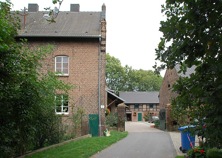
Sindorf station
Railway station

Photo: A.Savin, CC BY-SA 3.0.
Sindorf station is a train station in the town of Sindorf in the German state of North Rhine-Westphalia on the Cologne–Aachen high-speed railway. The station is in the south-east of the Kerpen district of Sindorf and has a side platform on the south side of the S-Bahn line. Sindorf station is situated 600 metres north of Henrys Sandbar.
Christuskirche
Church

Photo: A.Savin, CC BY-SA 3.0.
Christuskirche is a church, which is situated 770 metres northwest of Henrys Sandbar.
Regina Coeli Church (Sindorf)
Church

Photo: A.Savin, CC BY-SA 3.0.
Regina Coeli Church (Sindorf) is situated 1 km northwest of Henrys Sandbar.
Places in the Area
Nearby places include Sindorf and Horrem.
Horrem
Village

Photo: Frankherz, Public domain.
Horrem is a village, which is situated 2½ km northeast of Henrys Sandbar.
Mödrath
Village
 Mödrath is a quarter of Kerpen, Germany. It was annexed to the Kerpen Ortskern in the course of the lignite resettlement in 1956. Mödrath is situated 2½ km southeast of Henrys Sandbar.
Henrys Sandbar
Latitude
50.89843° or 50° 53′ 54″ northLongitude
6.68243° or 6° 40′ 57″ eastOpen location code
9F28VMXJ+9XOpenStreetMap ID
node 1895287618OpenStreetMap feature
amenity=barOpenStreetMap attribute
wheelchair=limited
This page is based on OpenStreetMap, Wikidata, and Wikimedia Commons.
We’d love your help improving our open data sources. Thank you for contributing.
Satellite Map
Discover Henrys Sandbar from above in high-definition satellite imagery.
Notable Places Nearby
Highlights include Game Night and Hotel Europarc.
Nearby Places
Explore places such as Furat and A.T.U.
North Rhine-Westphalia: Must-Visit Destinations
Delve into Cologne, Düsseldorf, Bonn, and Dortmund.
Curious Bars to Discover
Uncover intriguing bars from every corner of the globe.
About Mapcarta. Data © OpenStreetMap contributors and available under the Open Database License". Text is available under the CC BY-SA 4.0 license, except for photos, directions, and the map. Photo: Daniel Schwen, CC BY-SA 2.5.