Spingies New Wave
Spingies New Wave is a hairdresser in Cologne, Cologne Lowland, North Rhine-Westphalia. Spingies New Wave is situated nearby to the beach Kleiner Kiesstrand, as well as near the school Vocational College Cologne-Porz.| Tap on a place to explore it |
Places of Interest Nearby
Highlights include St. Josef and St. Fronleichnam.
St. Josef
Church

Photo: Wikimedia, CC BY-SA 4.0.
St. Josef is a church, which is situated 600 metres south of Spingies New Wave.
St. Fronleichnam
Church

Photo: Elya, CC BY-SA 3.0.
St. Fronleichnam is a church, which is situated 1 km east of Spingies New Wave.
Köln Steinstraße station
Railway stop
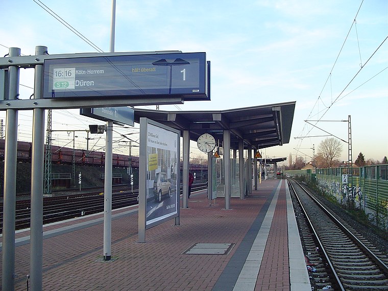
Photo: A.Savin, CC BY-SA 3.0.
Köln Steinstraße is a railway station situated at Porz, Cologne in western Germany on the Sieg and East Rhine Railways. It is classified by Deutsche Bahn as a category 5 station. Köln Steinstraße station is situated 710 metres north of Spingies New Wave.
Places in the Area
Nearby places include Finkenberg and Zündorf.

Zündorf
Suburb
Zündorf is a suburb of Cologne, Germany and part of the district of Porz. Zündorf lies on the right bank of the river Rhine, between Langel and Porz. Zündorf has 12.229 inhabitants and covers an area of 8,12 km2. Zündorf is situated 2½ km south of Spingies New Wave.
Vingst
Suburb

Photo: Hasenläufer, CC BY-SA 3.0 de.
Vingst is a suburb, which is situated 5 km northwest of Spingies New Wave.
Spingies New Wave
- Type: Hairdresser
- Category: shop
- Location: Cologne, Cologne District, Cologne Lowland, North Rhine-Westphalia, Germany, Central Europe, Europe
- View on OpenStreetMap
Latitude
50.88928° or 50° 53′ 21″ northLongitude
7.05395° or 7° 3′ 14″ eastOpen location code
9F29V3Q3+PHOpenStreetMap ID
node 1951378277OpenStreetMap feature
shop=hairdresser
This page is based on OpenStreetMap, Wikidata, and Wikimedia Commons.
We’d love your help improving our open data sources. Thank you for contributing.
Satellite Map
Discover Spingies New Wave from above in high-definition satellite imagery.
Notable Places Nearby
Highlights include Kleiner Kiesstrand and Vocational College Cologne-Porz.
Nearby Places
Explore places such as City Bäckerei and Maessner.
Cologne Lowland: Must-Visit Destinations
Delve into Bonn, Leverkusen, Siegburg, and Bad Honnef.
Curious Hairdressers to Discover
Uncover intriguing hairdressers from every corner of the globe.
About Mapcarta. Data © OpenStreetMap contributors and available under the Open Database License". Text is available under the CC BY-SA 4.0 license, except for photos, directions, and the map. Photo: Ahgee, CC BY-SA 3.0.