Untergiem Süd
Untergiem Süd is a bus stop in Feldbach, Südoststeiermark District, Styria. Untergiem Süd is situated nearby to the peak Satzwipfel, as well as near the reservoir Hochbehälter Bad Gleichenberg.| Tap on a place to explore it |
Places of Interest Nearby
Highlights include Gleichenberg Kögel and Styrassic Park.
Gleichenberg Kögel
Peak

Photo: Zeitblick, CC BY-SA 3.0.
Gleichenberger Kögel or Gleichenberge are two extinct volcanos in southern Styria, Austria. The Volcano is made up of two peaks, Gleichenberger Kogel and its secondary peak the Bschaidkogel, at the same time it gives its name to the homonymous village of Bad Gleichenberg. Gleichenberg Kögel is situated 3 km southeast of Untergiem Süd.
Styrassic Park
Theme park

Photo: Vegas122, CC BY-SA 4.0.
Styrassic Park is a theme park, which is situated 3 km south of Untergiem Süd.
Jüdische Grabsteine Steinberg
Cemetery
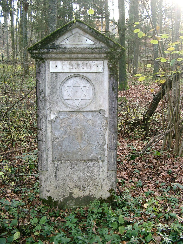
Photo: E.mil.mil, CC BY-SA 3.0.
Jüdische Grabsteine Steinberg is a cemetery, which is situated 3 km northeast of Untergiem Süd.
Places in the Area
Nearby places include Mühldorf bei Feldbach and Feldbach.
Mühldorf bei Feldbach
Village

Photo: Ueb-at, CC BY-SA 3.0.
Mühldorf bei Feldbach is a former municipality in the district of Südoststeiermark in the Austrian state of Styria. Since the 2015 Styria municipal structural reform, it is part of the municipality Feldbach.
Feldbach
Town

Photo: Cerana, CC BY-SA 3.0.
Feldbach is a town in the southeast of the Austrian state of Styria, near the Slovenian and Hungarian border. It is located in the valley around the river Raab. With 13,421 inhabitants, Feldbach is the fifth largest town in Styria. Feldbach is situated 4 km north of Untergiem Süd.
Leitersdorf im Raabtal
Village
Leitersdorf im Raabtal is a former municipality in the district of Südoststeiermark in the Austrian state of Styria. Since the 2015 Styria municipal structural reform, it is part of the municipality Feldbach. Leitersdorf im Raabtal is situated 4 km northeast of Untergiem Süd.
Untergiem Süd
- Type: Bus stop
- Categories: transport stop and transportation
- Location: Feldbach, Südoststeiermark District, Styria, Austria, Central Europe, Europe
- View on OpenStreetMap
Latitude
46.91833° or 46° 55′ 6″ northLongitude
15.89067° or 15° 53′ 26″ eastOpen location code
8FRQWV9R+87OpenStreetMap ID
node 1969807055OpenStreetMap feature
public_transport=stop_position
This page is based on OpenStreetMap, Wikidata, and Wikimedia Commons.
We’d love your help improving our open data sources. Thank you for contributing.
Satellite Map
Discover Untergiem Süd from above in high-definition satellite imagery.
Notable Places Nearby
Highlights include Satzwipfel and Nostalgiewelt Posch.
Nearby Places
Explore places such as Untergiem Süd and Untergiem Süd.
Styria: Must-Visit Destinations
Delve into Graz, Leoben, Bruck an der Mur, and Kapfenberg.
Curious Bus Stops to Discover
Uncover intriguing bus stops from every corner of the globe.
About Mapcarta. Data © OpenStreetMap contributors and available under the Open Database License". Text is available under the CC BY-SA 4.0 license, except for photos, directions, and the map. Photo: Kmarka, CC BY-SA 3.0.