Freiwillige Feuerwehr Melzwig
Freiwillige Feuerwehr Melzwig is a fire station in Kemberg, Wittenberg, Saxony-Anhalt. Freiwillige Feuerwehr Melzwig is situated nearby to the pitch Melzwiger Sportplatz, as well as near the cemetery Melzwiger Friedhof.| Tap on a place to explore it |
Places of Interest Nearby
Highlights include Protestant church Dabrun and Protestant church Rackith.
Protestant church Dabrun
Church
 Protestant church Dabrun is situated 1 km northwest of Freiwillige Feuerwehr Melzwig.
Protestant church Rackith
Church
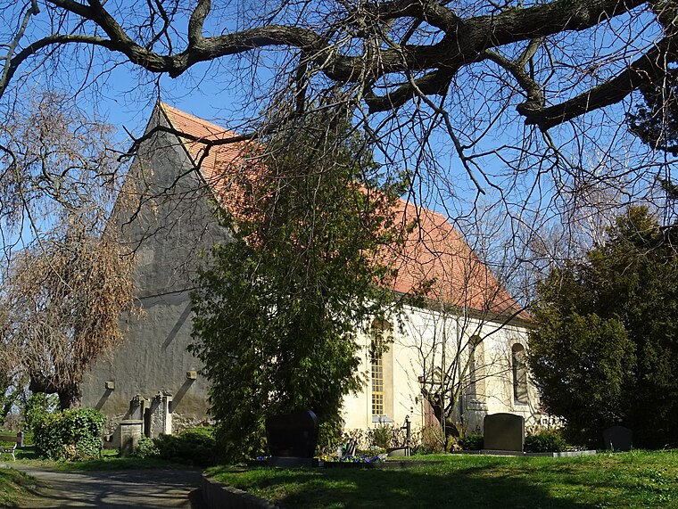
Photo: Global Fish, CC BY-SA 4.0.
Protestant church Rackith is situated 3 km southwest of Freiwillige Feuerwehr Melzwig.
Polish-Saxon Post Milestone Mühlanger
Historic site

Photo: Radler59, CC BY-SA 3.0.
Polish-Saxon Post Milestone Mühlanger is a historic site, which is situated 3½ km north of Freiwillige Feuerwehr Melzwig.
Places in the Area
Nearby places include Mühlanger and Wartenburg.
Mühlanger
Village
Photo: Radler59, CC BY-SA 3.0.
Mühlanger is a village and a former municipality in Wittenberg district in Saxony-Anhalt, Germany. Since 1 January 2014, it is part of the town Zahna-Elster. Mühlanger is situated 3½ km northeast of Freiwillige Feuerwehr Melzwig.
Wartenburg
Village

Photo: CeeFKa, CC BY-SA 4.0.
Wartenburg is a village and a former municipality in Wittenberg district in Saxony-Anhalt, Germany. Since 1 January 2010, it is part of the town Kemberg. Wartenburg is situated 4½ km southeast of Freiwillige Feuerwehr Melzwig.
Dietrichsdorf
Village

Photo: Peal1903, CC BY-SA 4.0.
Dietrichsdorf is a village and a former municipality in Wittenberg district in Saxony-Anhalt, Germany. Since 1 January 2011, it is part of the town Zahna-Elster. Dietrichsdorf is situated 5 km northeast of Freiwillige Feuerwehr Melzwig.
Freiwillige Feuerwehr Melzwig
- Type: Fire station
- Location: Kemberg, Wittenberg, Saxony-Anhalt, Germany, Central Europe, Europe
- View on OpenStreetMap
Latitude
51.82649° or 51° 49′ 35″ northLongitude
12.71773° or 12° 43′ 4″ eastOpen location code
9F3JRPG9+H3OpenStreetMap ID
node 1972194214OpenStreetMap feature
amenity=fire_station
This page is based on OpenStreetMap, Wikidata, and Wikimedia Commons.
We’d love your help improving our open data sources. Thank you for contributing.
Satellite Map
Discover Freiwillige Feuerwehr Melzwig from above in high-definition satellite imagery.
Notable Places Nearby
Highlights include Freiwillige Feuerwehr Melzwig and Melzwiger Sportplatz.
Nearby Places
Explore places such as Grundschule Dabrun and Dabrun, Schule.
Saxony-Anhalt: Must-Visit Destinations
Delve into Magdeburg, Halle, Wittenberg, and Quedlinburg.
Curious Fire Stations to Discover
Uncover intriguing fire stations from every corner of the globe.
About Mapcarta. Data © OpenStreetMap contributors and available under the Open Database License". Text is available under the CC BY-SA 4.0 license, except for photos, directions, and the map. Photo: GMM, Public domain.