Matičević centar
Matičević centar is a restaurant in Brod-Posavina County, Croatia which is located on Sjeverna vezna cesta. Matičević centar is situated nearby to the church crkva Svete Obitelji, as well as near Kapelica.| Tap on a place to explore it |
Places of Interest Nearby
Highlights include Brod Fortress and Slavonski Brod.
Brod Fortress

Photo: Modzzak, CC BY-SA 3.0.
The Fortress of Brod is a fortress in Slavonski Brod, Croatia with significant cultural heritage. The fortress was constructed in the 18th century by the Archduchy of Austria to create a defense against the Ottoman Empire. Brod Fortress is situated 3½ km southwest of Matičević centar.
Slavonski Brod
Railway station
 Slavonski Brod railway station is a railway station on Novska–Tovarnik railway. Located in Slavonski Brod. Railroad continued to Sibinj in one direction and in the other to Garčin. Slavonski Brod is situated 3 km southwest of Matičević centar.
Places in the Area
Nearby places include Podvinje and Tomica.
Podvinje
Village
 Podvinje is a village in municipality of Slavonski Brod in Brod-Posavina County, Croatia.
Tomica
Village
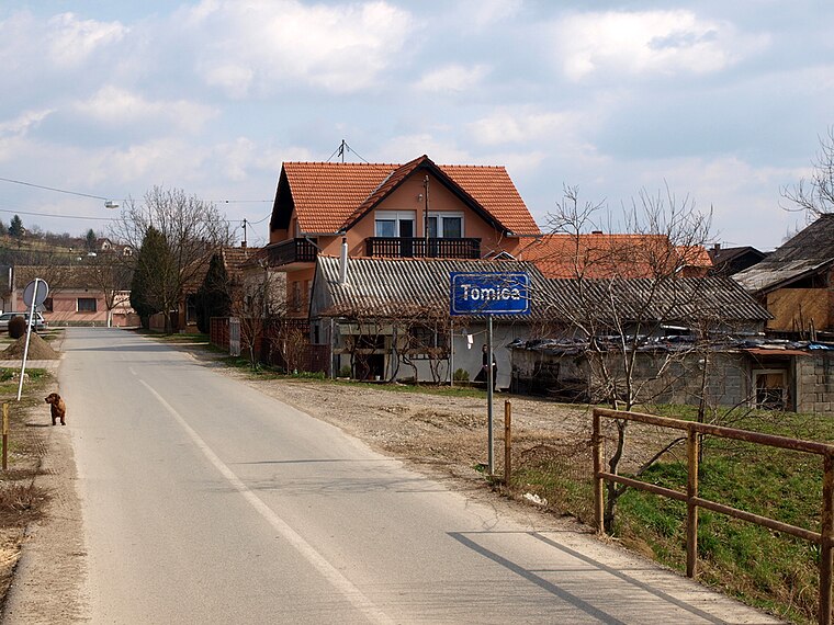
Photo: Frka, CC BY-SA 3.0.
Tomica is a village near Podcrkavlje, Croatia. In the 2011 census, it had 479 inhabitants.
Bukovlje
Village

Photo: Frka, CC BY-SA 3.0.
Bukovlje is a village and a municipality in Brod-Posavina County, Croatia.
Matičević centar
- Type: Restaurant
- Address: Sjeverna vezna cesta 63, 35000
- Category: food
- Location: Brod-Posavina County, Croatia, Balkans, Europe
- View on OpenStreetMap
Latitude
45.17912° or 45° 10′ 45″ northLongitude
18.03974° or 18° 2′ 23″ eastOpen location code
8FQW52HQ+JVOpenStreetMap ID
node 1976432946OpenStreetMap feature
amenity=restaurant
This page is based on OpenStreetMap, Wikidata, and Wikimedia Commons.
We’d love your help improving our open data sources. Thank you for contributing.
Satellite Map
Discover Matičević centar from above in high-definition satellite imagery.
Notable Places Nearby
Highlights include crkva Svete Obitelji and Kapelica.
Nearby Places
Explore places such as Matičević centar and Mioagrostroj.
Croatia: Must-Visit Destinations
Delve into Zagreb, Dubrovnik, Split, and Rijeka.
Curious Restaurants to Discover
Uncover intriguing restaurants from every corner of the globe.
About Mapcarta. Data © OpenStreetMap contributors and available under the Open Database License". Text is available under the CC BY-SA 4.0 license, except for photos, directions, and the map. Photo: Wikimedia, CC BY-SA 3.0.