Derrière les Raccards
Derrière les Raccards is a locality in Sembrancher, Entremont District, Valais. Derrière les Raccards is situated nearby to the hamlet La Garde, as well as near the locality Crêtes.| Tap on a place to explore it |
Places of Interest
Highlights include La Douay railway station and Saint-Étienne church.
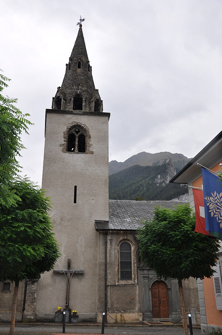
La Douay railway station
Railway station
 La Douay railway station is a railway station in the municipality of Orsières, in the Swiss canton of Valais. It is located on the standard gauge Martigny–Orsières line of Transports de Martigny et Régions.
Le Catogne
Peak

Photo: Espandero, CC BY-SA 4.0.
Le Catogne is a mountain on the extreme north-eastern edge of the Mont Blanc massif, overlooking Champex in the Swiss canton of Valais. Some sources consider this summit as being within the Pennine Alps. Le Catogne is situated 3 km southwest of Derrière les Raccards.
Places in the Area
Nearby places include Luder House and Sembrancher.

Sembrancher
Village

Photo: Maurice Perry, CC BY-SA 2.0.
Sembrancher is a municipality in the district of Entremont in the canton of Valais in Switzerland.
Vollèges
Village
 Vollèges is a former municipality in the district of Entremont in the canton of Valais in Switzerland. On 1 January 2021 the former municipalities of Bagnes and Vollèges merged to form the new municipality of Val de Bagnes. Vollèges is situated 3 km northeast of Derrière les Raccards.
Derrière les Raccards
- Type: Locality
- Location: Sembrancher, Entremont District, Valais, Switzerland, Central Europe, Europe
- View on OpenStreetMap
Latitude
46.06564° or 46° 3′ 56″ northLongitude
7.14752° or 7° 8′ 51″ eastOpen location code
8FR9348X+72OpenStreetMap ID
node 1978950838OpenStreetMap feature
place=locality
This page is based on OpenStreetMap, Wikidata, and Wikimedia Commons.
We’d love your help improving our open data sources. Thank you for contributing.
Satellite Map
Discover Derrière les Raccards from above in high-definition satellite imagery.
Localities in the Area
Explore places such as La Garde and Crêtes.
Notable Places Nearby
Highlights include Col du Prion and Crête Blanche.
Valais: Must-Visit Destinations
Delve into Sion, Zermatt, Martigny, and Brig.
Curious Localities to Discover
Uncover intriguing localities from every corner of the globe.
About Mapcarta. Data © OpenStreetMap contributors and available under the Open Database License". Text is available under the CC BY-SA 4.0 license, except for photos, directions, and the map. Photo: Debugman, CC BY 3.0.