Natalie Pflegedienst
Natalie Pflegedienst is a social service facility in Berlin, Berlin which is located on Frankfurter Allee. Natalie Pflegedienst is situated nearby to the health club Fitness First, as well as near the dōjō Boxstudio Berlin Friedrichshain.| Tap on a place to explore it |
- Opening hours: Monday—Friday 8:00 AM—4:00 PM
- Email: natalie.pflegedienst@gmail.com
- Type: Social service facility
- Address: Frankfurter Allee 66, Friedrichshain, Berlin, 10247
- Wheelchair access: no
Places of Interest Nearby
Highlights include Samariterstraße and Schleidenplatz.
Samariterstraße
Metro station

Photo: currybet, CC BY-SA 2.0.
Samariterstraße is a Berlin U-Bahn station located on the U5. It is located underneath Frankfurter Allee, at the intersection with Samariterstraße in the district of Friedrichshain. Samariterstraße is situated 160 metres west of Natalie Pflegedienst.
Schleidenplatz
Park
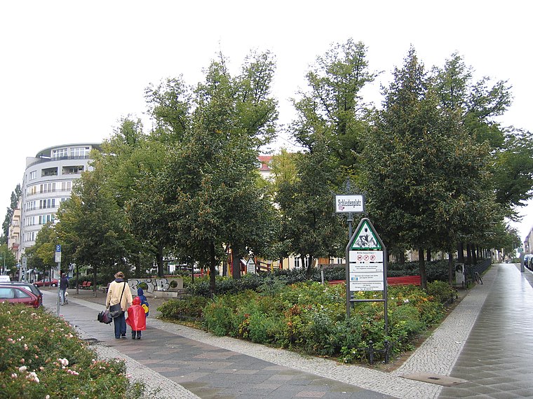
Photo: A.Savin, CC BY-SA 3.0.
Schleidenplatz is a park, which is situated 420 metres east of Natalie Pflegedienst.
Protestant Samaritan Church
Church

Photo: Wikimedia, CC BY-SA 3.0.
Protestant Samaritan Church is situated 410 metres north of Natalie Pflegedienst.
Places in the Area
Nearby places include Samariter Quarter and Rudolfkiez.


Mediaspree
Quarter

Photo: Jenny Paul, CC BY-SA 4.0.
Mediaspree is one of the largest property investment projects in Berlin. It aims to establish telecommunication and media companies along a section of the banks of the river Spree as well as to implement an urban renewal of the surrounding area.
Natalie Pflegedienst
- Location: Berlin, Berlin, Stadt, Berlin, Germany, Central Europe, Europe
- View on OpenStreetMap
Latitude
52.5143° or 52° 30′ 52″ northLongitude
13.46671° or 13° 28′ 0″ eastOpen location code
9F4MGF78+PMOpenStreetMap ID
node 2026490841OpenStreetMap feature
amenity=social_facilityOpenStreetMap attribute
wheelchair=no
This page is based on OpenStreetMap, Wikidata, and Wikimedia Commons.
We’d love your help improving our open data sources. Thank you for contributing.
Satellite Map
Discover Natalie Pflegedienst from above in high-definition satellite imagery.
Notable Places Nearby
Highlights include Fitness First and Boxstudio Berlin Friedrichshain.
Nearby Places
Explore places such as Nextlvl and Euro Nails.
Berlin: Must-Visit Destinations
Delve into Mitte, East Central, City West, and East Berlin.
Curious Social Service Facilities to Discover
Uncover intriguing social service facilities from every corner of the globe.
About Mapcarta. Data © OpenStreetMap contributors and available under the Open Database License". Text is available under the CC BY-SA 4.0 license, except for photos, directions, and the map. Photo: Berthold Werner, CC BY-SA 3.0.