Sous le Clou
Sous le Clou is a locality in Sembrancher, Entremont District, Valais. Sous le Clou is situated nearby to the locality Tsan de la Faille, as well as near L’Image.| Tap on a place to explore it |
Places of Interest
Highlights include Bovernier railway station and Notre Dame des Neiges Chapel.
Bovernier railway station
Railway station

Photo: NAC, CC BY-SA 3.0.
Bovernier railway station is a railway station in the municipality of Bovernier, in the Swiss canton of Valais. It is an intermediate stop and a request stop on the standard gauge Martigny–Orsières line of Transports de Martigny et Régions.


Places in the Area
Nearby places include Bovernier and Gorges du Durnand.
Bovernier
Village
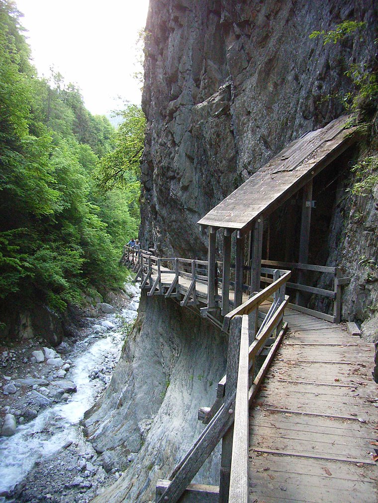
Photo: Lysippos, CC BY-SA 2.0 de.
Bovernier is a municipality in the district of Martigny in the canton of Valais in Switzerland.
Gorges du Durnand
Locality

Photo: Gaelbourgeois, CC BY-SA 4.0.
Gorges du Durnand is a locality, which is situated 3 km southwest of Sous le Clou.
Luder House
Locality

Photo: Vaquins, CC BY-SA 3.0.
Luder House is a locality, which is situated 3½ km east of Sous le Clou.
Sous le Clou
- Type: Locality
- Location: Sembrancher, Entremont District, Valais, Switzerland, Central Europe, Europe
- View on OpenStreetMap
Latitude
46.08019° or 46° 4′ 49″ northLongitude
7.1069° or 7° 6′ 25″ eastOpen location code
8FR934J4+3QOpenStreetMap ID
node 2034209976OpenStreetMap feature
place=locality
This page is based on OpenStreetMap, Wikidata, and Wikimedia Commons.
We’d love your help improving our open data sources. Thank you for contributing.
Satellite Map
Discover Sous le Clou from above in high-definition satellite imagery.
Localities in the Area
Explore places such as Tsan de la Faille and L’Image.
Notable Places Nearby
Highlights include La Fory and Fontaine Chaude.
Valais: Must-Visit Destinations
Delve into Sion, Zermatt, Martigny, and Brig.
Curious Localities to Discover
Uncover intriguing localities from every corner of the globe.
About Mapcarta. Data © OpenStreetMap contributors and available under the Open Database License". Text is available under the CC BY-SA 4.0 license, except for photos, directions, and the map. Photo: Debugman, CC BY 3.0.