Wagneren
Wagneren is a neighborhood in Interlaken, Canton of Bern. Wagneren is situated nearby to the neighborhood Wagnerschlucht, as well as near the locality Därligstrasse.| Tap on a place to explore it |
Places of Interest
Highlights include Interlaken West railway station and Villa Cranz.
Interlaken West railway station
Railway station

Photo: Belteshassar, CC BY-SA 3.0.
Interlaken West is a railway station in the resort town of Interlaken, in the Swiss canton of Bern. It is on the Thunersee line of the BLS AG, and is one of two stations in the town, the other being Interlaken Ost.


Places in the Area
Nearby places include Unterseen and Matten bei Interlaken.
Unterseen
Village

Photo: Wikimedia, CC BY-SA 3.0.
Unterseen is a historic town and a municipality in the Interlaken-Oberhasli administrative district in the canton of Bern in Switzerland. Unterseen literally means Lower Lake, which is correct, since Unterseen is located on the flat area on the eastern shore of Lake Thun between the two creek Lombach below the Chienberg to the north and the Aare to the south, which both flow into Lake Thun.
Matten bei Interlaken
Village
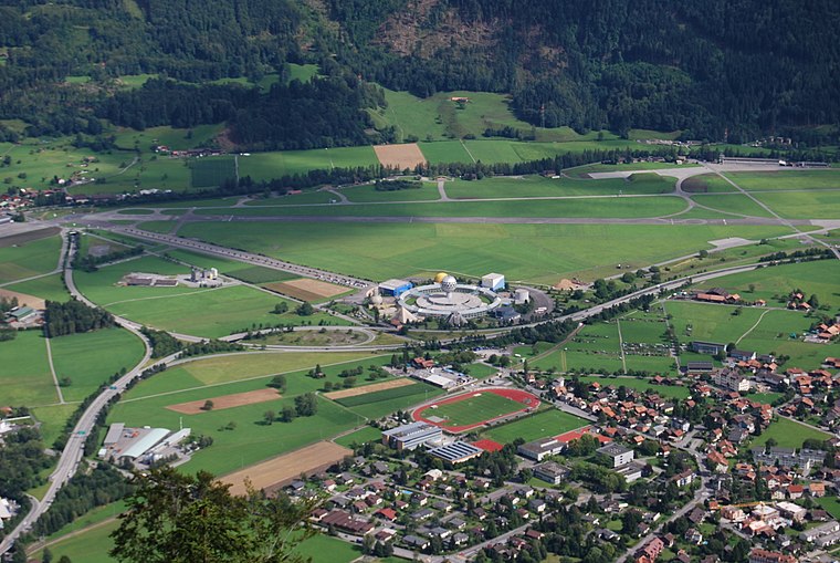
Photo: DidiWeidmann, CC BY-SA 3.0.
Matten bei Interlaken is a village and municipality in the Interlaken-Oberhasli administrative district in the canton of Bern in Switzerland. Matten b.I. belongs to the Small Agglomeration Interlaken with 23,300 inhabitants.
Wilderswil
Village

Photo: DidiWeidmann, CC BY-SA 3.0.
Wilderswil is a village and a municipality in the Interlaken-Oberhasli administrative district in the canton of Bern in Switzerland. Wilderswil belongs to the Small Agglomeration Interlaken with 23,300 inhabitants.
Wagneren
- Type: Neighborhood
- Category: locality
- Location: Interlaken, Interlaken-Oberhasli, Canton of Bern, Bernese Highlands, Switzerland, Central Europe, Europe
- View on OpenStreetMap
Latitude
46.67728° or 46° 40′ 38″ northLongitude
7.85169° or 7° 51′ 6″ eastOpen location code
8FR9MVG2+WMOpenStreetMap ID
node 2047682057OpenStreetMap feature
place=neighbourhood
This page is based on OpenStreetMap, Wikidata, and Wikimedia Commons.
We’d love your help improving our open data sources. Thank you for contributing.
Satellite Map
Discover Wagneren from above in high-definition satellite imagery.
Localities in the Area
Explore places such as Wagnerschlucht and Därligstrasse.
Notable Places Nearby
Highlights include Modelleisenbahn and Heimwehfluh.
Bernese Highlands: Must-Visit Destinations
Delve into Thun, Lauterbrunnen, Grindelwald, and Meiringen.
Curious Neighborhoods to Discover
Uncover intriguing neighborhoods from every corner of the globe.
About Mapcarta. Data © OpenStreetMap contributors and available under the Open Database License". Text is available under the CC BY-SA 4.0 license, except for photos, directions, and the map. Photo: Wikimedia, CC0.