Fuel Háj
Fuel Háj is a gas station in Háj u Duchcova, Teplice District, Ústí nad Labem Region. Fuel Háj is situated nearby to Horní Háj railway stop, as well as near the town hall Obecní úřad Háj u Duchcova.| Tap on a place to explore it |
Places of Interest Nearby
Highlights include Horní Háj railway stop and Háj u Duchcova.
Horní Háj railway stop
Railway stop

Photo: Petr Kinšt, CC BY-SA 3.0.
Horní Háj railway stop is situated 430 metres northwest of Fuel Háj.
Háj u Duchcova
Post office

Photo: Packa, CC BY-SA 3.0.
Háj u Duchcova is a post office, which is situated 680 metres south of Fuel Háj.
Osek město railway station
Railway station

Photo: Martin Vrut, CC BY 3.0.
Osek město railway station is situated 2 km southwest of Fuel Háj.
Places in the Area
Nearby places include Háj u Duchcova and Domaslavice.
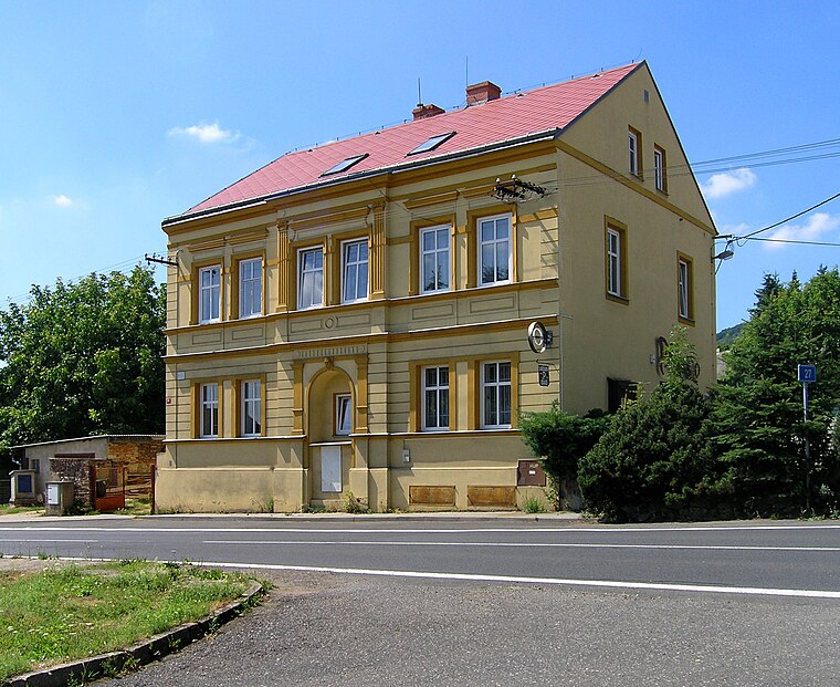
Háj u Duchcova
Village

Photo: Packa, CC BY-SA 3.0.
Háj u Duchcova is a municipality and village in Teplice District in the Ústí nad Labem Region of the Czech Republic. It has about 1,400 inhabitants. Háj u Duchcova lies approximately 8 kilometres west of Teplice, 24 km west of Ústí nad Labem, and 79 km north-west of Prague.

Fuel Háj
- Type: Gas station
- Category: transportation
- Location: Háj u Duchcova, Teplice District, Ústí nad Labem Region, Czech Republic, Central Europe, Europe
- View on OpenStreetMap
Latitude
50.63736° or 50° 38′ 15″ northLongitude
13.70834° or 13° 42′ 30″ eastOpen location code
9F2MJPP5+W8OpenStreetMap ID
node 2050232648OpenStreetMap feature
amenity=fuel
This page is based on OpenStreetMap, Wikidata, and Wikimedia Commons.
We’d love your help improving our open data sources. Thank you for contributing.
Satellite Map
Discover Fuel Háj from above in high-definition satellite imagery.
Notable Places Nearby
Highlights include Obecní úřad Háj u Duchcova and koupaliště.
Nearby Places
Explore places such as Háj u Duchcova,Horní Háj and Háj u Duchcova,Horní Háj.
Czech Republic: Must-Visit Destinations
Delve into Prague, Brno, Pilsen, and Ostrava.
Curious Gas Stations to Discover
Uncover intriguing gas stations from every corner of the globe.
About Mapcarta. Data © OpenStreetMap contributors and available under the Open Database License". Text is available under the CC BY-SA 4.0 license, except for photos, directions, and the map. Photo: Maoman, CC BY-SA 4.0.