Koelschmopped
Koelschmopped is an automobile repair shop in Cologne, Cologne Lowland, North Rhine-Westphalia. Koelschmopped is situated nearby to the art gallery DOML(e)INE, as well as near the garden BürgerGarten.| Tap on a place to explore it |
Places of Interest Nearby
Highlights include Poller Kapelle and St Joseph’s Church.
Poller Kapelle
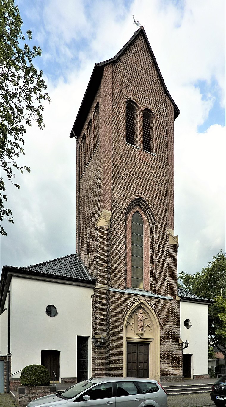
Church
 Poller Kapelle is a church, which is situated 320 metres north of Koelschmopped.
Hl. Dreifaltigkeit
Church
 Hl. Dreifaltigkeit is a church, which is situated 570 metres north of Koelschmopped.
Places in the Area
Nearby places include Bayenthal and Deutz.
Bayenthal
Suburb

Photo: ZH2010, CC BY-SA 3.0.
Bayenthal is a neighbourhood of Cologne, Germany and part of the district of Rodenkirchen. Bayenthal lies on the left bank of the river Rhine, between the district of Innenstadt to the North and Marienburg neighbourhood to the South.
Deutz
Suburb

Photo: Tohma, CC BY-SA 4.0.
The Cologne borough of Deutz is a part of central Cologne, Germany, and was once an independent town known as Deutz am Rhein. Deutz is situated 3 km northwest of Koelschmopped.
Raderthal
Suburb
Since the last administrative reform in 1975, the City of Cologne is made up of nine Stadtbezirke and 86 Stadtteile. Stadtbezirk literally translates as city district, which are further subdivided into Stadtteile. Raderthal is situated 3 km southwest of Koelschmopped.
Koelschmopped
- Opening hours: Monday—Friday 8:30 AM—5:00 PM
- Type: Automobile repair shop
- Categories: shop and transportation
- Location: Cologne, Cologne District, Cologne Lowland, North Rhine-Westphalia, Germany, Central Europe, Europe
- View on OpenStreetMap
Latitude
50.91403° or 50° 54′ 51″ northLongitude
6.99046° or 6° 59′ 26″ eastOperator
Roberto SträterOpen location code
9F28WX7R+J5OpenStreetMap ID
node 2061583870OpenStreetMap feature
shop=car_repair
This page is based on OpenStreetMap, Wikidata, and Wikimedia Commons.
We’d love your help improving our open data sources. Thank you for contributing.
Satellite Map
Discover Koelschmopped from above in high-definition satellite imagery.
Notable Places Nearby
Highlights include DOML(e)INE and BürgerGarten.
Nearby Places
Explore places such as Stoff and Cheese Baby.
Cologne Lowland: Must-Visit Destinations
Delve into Bonn, Leverkusen, Siegburg, and Bad Honnef.
Curious Automobile Repair Shops to Discover
Uncover intriguing automobile repair shops from every corner of the globe.
About Mapcarta. Data © OpenStreetMap contributors and available under the Open Database License". Text is available under the CC BY-SA 4.0 license, except for photos, directions, and the map. Photo: Ahgee, CC BY-SA 3.0.