Unterloisdorf Kirche
Unterloisdorf Kirche is a bus stop in Mannersdorf an der Rabnitz, Oberpullendorf District, Burgenland. Unterloisdorf Kirche is situated nearby to the church Kath. Filialkirche hl. Radegundis, Unterloisdorf, as well as near the cemetery Friedhof Unterloisdorf.| Tap on a place to explore it |
Places of Interest Nearby
Highlights include Kath. Filialkirche hl. Radegundis, Unterloisdorf and Schüttkasten Mannersdorf an der Rabnitz.
Kath. Filialkirche hl. Radegundis, Unterloisdorf
Church

Photo: Ufoao, CC BY-SA 3.0 at.
Kath. Filialkirche hl. Radegundis, Unterloisdorf is a church.
Schüttkasten Mannersdorf an der Rabnitz
Public building

Photo: Robert Heilinger, CC BY-SA 3.0.
Schüttkasten Mannersdorf an der Rabnitz is a public building, which is situated 320 metres south of Unterloisdorf Kirche.
Dorfzentrum, Schule, Unterloisdorf
Building

Photo: Hadinger, CC BY-SA 3.0 at.
Dorfzentrum, Schule, Unterloisdorf is a building, which is situated 360 metres southeast of Unterloisdorf Kirche.
Places in the Area
Nearby places include Liebing and Ólmod.
Liebing
Village
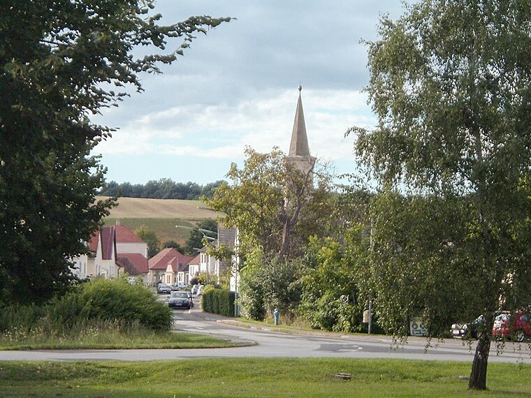
Photo: Wikimedia, Public domain.
Liebing is a village in the district of Oberpullendorf in Burgenland in Austria. It is part of the municipality of Mannersdorf an der Rabnitz. Liebing is situated 4 km southwest of Unterloisdorf Kirche.
Ólmod
Village

Photo: Nxr-at, CC BY-SA 4.0.
Ólmod is a village in Vas county, Hungary. Ólmod is situated 5 km southeast of Unterloisdorf Kirche.
Kőszeg

Photo: Zairon, CC BY-SA 3.0.
Kőszeg is a historical town in Vas county, in Hungary. Another beautiful town beside Sopron, it is often referred to as the "jewellery box of the country". Like Sopron, it is very close to the Austrian border.
Unterloisdorf Kirche
- Type: Bus stop
- Wheelchair access: limited
- Categories: transport stop and transportation
- Location: Mannersdorf an der Rabnitz, Oberpullendorf District, Burgenland, Austria, Central Europe, Europe
- View on OpenStreetMap
Latitude
47.43696° or 47° 26′ 13″ northLongitude
16.53168° or 16° 31′ 54″ eastNetwork
Verkehrsverbund Ost-RegionOpen location code
8FVRCGPJ+QMOpenStreetMap ID
node 2092407738OpenStreetMap feature
public_transport=stop_positionOpenStreetMap attribute
wheelchair=limited
This page is based on OpenStreetMap, Wikidata, and Wikimedia Commons.
We’d love your help improving our open data sources. Thank you for contributing.
Satellite Map
Discover Unterloisdorf Kirche from above in high-definition satellite imagery.
Notable Places Nearby
Highlights include Friedhof Unterloisdorf and Annakapelle, Unterloisdorf.
Nearby Places
Explore places such as Unterloisdorf Kirche and Gasthaus Pröstl.
Burgenland: Must-Visit Destinations
Delve into Eisenstadt, Neusiedl am See, Rust, and Güssing.
Curious Bus Stops to Discover
Uncover intriguing bus stops from every corner of the globe.
About Mapcarta. Data © OpenStreetMap contributors and available under the Open Database License". Text is available under the CC BY-SA 4.0 license, except for photos, directions, and the map. Photo: Wikimedia, CC BY-SA 4.0.