‘Galerija Kovo’
‘Galerija Kovo’ is a supermarket in Federation of Bosnia and Herzegovina, Bosnia and Herzegovina. ‘Galerija Kovo’ is situated nearby to the public building Carinska ispostava Visoko, as well as near the village Ozrakovići.| Tap on a place to explore it |
Places of Interest Nearby
Highlights include Park Ravne 2 and Visočica.
Park Ravne 2
Park

Photo: Mhare, CC BY-SA 4.0.
Park Ravne 2 is situated 1½ km southwest of ‘Galerija Kovo’.
Visočica
Peak

Photo: Wikimedia, CC BY-SA 3.0.
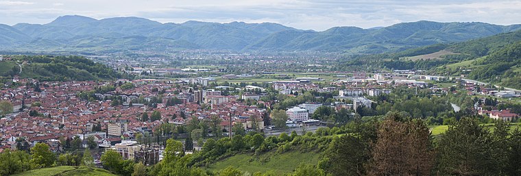
Visočica is a 213-metre-high hill in Bosnia and Herzegovina which is the site of the Old town of Visoki. Since at least 2005, the hill has been the subject of a pseudoarchaeological belief that it is part of an ancient man-made pyramid complex. Visočica is situated 2½ km south of ‘Galerija Kovo’.
Old town of Visoki
Castle
 The Old town of Visoki was a medieval royal castle town built during the 14th century on the top of the hill overlooking town of Visoko, Bosnia and Herzegovina. Old town of Visoki is situated 2½ km south of ‘Galerija Kovo’.
Places in the Area
Nearby places include Ozrakovići and Visoko.
Ozrakovići
Village
Ozrakovići is a village in the municipality of Visoko, Bosnia and Herzegovina. It is located on the western banks of the River Bosna.
Visoko
Town
 Visoko is a city located in the Zenica-Doboj Canton of the Federation of Bosnia and Herzegovina, an entity of Bosnia and Herzegovina. As of 2013, the municipality had a population of 39,938 inhabitants with 11,205 living in Visoko town.
Donje Moštre
Village
Donje Moštre is a village in the municipality of Visoko, Bosnia and Herzegovina. It is located on the western banks of the River Bosna. Donje Moštre is situated 4 km northwest of ‘Galerija Kovo’.
‘Galerija Kovo’
- Type: Supermarket
- Categories: shop and food
- Location: Federation of Bosnia and Herzegovina, Bosnia and Herzegovina, Balkans, Europe
- View on OpenStreetMap
Latitude
44.001° or 44° 0′ 4″ northLongitude
18.17554° or 18° 10′ 32″ eastOpen location code
8FPW252G+C6OpenStreetMap ID
node 2169451690OpenStreetMap feature
shop=supermarket
This page is based on OpenStreetMap, Wikidata, and Wikimedia Commons.
We’d love your help improving our open data sources. Thank you for contributing.
Satellite Map
Discover ‘Galerija Kovo’ from above in high-definition satellite imagery.
Notable Places Nearby
Highlights include Carinska ispostava Visoko and Suša.
Nearby Places
Explore places such as Kovo and Automatic Servis d.o.o..
Bosnia and Herzegovina: Must-Visit Destinations
Delve into Sarajevo, Mostar, Banja Luka, and Tuzla.
Curious Supermarkets to Discover
Uncover intriguing supermarkets from every corner of the globe.
About Mapcarta. Data © OpenStreetMap contributors and available under the Open Database License". Text is available under the CC BY-SA 4.0 license, except for photos, directions, and the map. Photo: Hrast, CC BY-SA 3.0.