Hauptstadt Räume
Hauptstadt Räume is a coworking space in Berlin, Berlin. Hauptstadt Räume is situated nearby to Postblock Trabant, as well as near the museum TimeRide - Berlin 1985 und VR-Stadtrundgänge.| Tap on a place to explore it |
Places of Interest Nearby
Highlights include Checkpoint Charlie and Topography of Terror.
Checkpoint Charlie

Photo: Adrian Purser, CC BY-SA 2.0.
Checkpoint Charlie was the Western Bloc's name for the best-known Berlin Wall crossing point between East Berlin and West Berlin during the Cold War, becoming a symbol of the Cold War, representing the separation of East and West. Checkpoint Charlie is situated 240 metres northeast of Hauptstadt Räume.
Topography of Terror

Photo: Wikimedia, CC BY-SA 3.0 de.
The Topography of Terror is an outdoor and indoor history museum in Berlin, Germany. It is located on Niederkirchnerstrasse, formerly Prinz-Albrecht-Strasse, on the site of buildings, which during the Nazi regime from 1933 to 1945 was the SS Reich Security Main Office, the headquarters of the Sicherheitspolizei, SD, Einsatzgruppen and Gestapo. Topography of Terror is situated 210 metres west of Hauptstadt Räume.
Wall Museum
Museum

Photo: Wikimedia, CC BY-SA 4.0.
The Wall Museum – Museum Haus am Checkpoint Charlie is a private museum in Berlin. It is named after the famous crossing point through the Berlin Wall, and was created to document the so-called "best border security system in the world". Wall Museum is situated 250 metres east of Hauptstadt Räume.
Places in the Area
Nearby places include Friedrichstadt and Friedrichswerder.
Friedrichstadt
Quarter
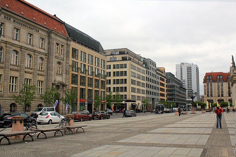
Photo: Tanweer Morshed, CC BY-SA 3.0.
Friedrichstadt was an independent suburb of Berlin, and is now a historical neighbourhood of the city itself. The neighbourhood is named after the Prussian king Frederick I.
Friedrichswerder
Neighborhood
Friedrichswerder is a neighborhood, situated in the Berliner locality of Mitte, part of the homonymous borough. It is identical to the town of Friedrichswerder, founded in 1662, which was an independent town until 1710.
Dorotheenstadt
Quarter
Dorotheenstadt is a historic zone or neighbourhood of central Berlin, Germany, which forms part of the locality of Mitte within the borough also called Mitte.
Hauptstadt Räume
- Type: Coworking space
- Category: office
- Location: Berlin, Berlin, Stadt, Berlin, Germany, Central Europe, Europe
- View on OpenStreetMap
Latitude
52.50659° or 52° 30′ 24″ northLongitude
13.38708° or 13° 23′ 14″ eastOpen location code
9F4MG94P+JROpenStreetMap ID
node 2181178532OpenStreetMap feature
office=coworking
This page is based on OpenStreetMap, Wikidata, and Wikimedia Commons.
We’d love your help improving our open data sources. Thank you for contributing.
Satellite Map
Discover Hauptstadt Räume from above in high-definition satellite imagery.
Notable Places Nearby
Highlights include Postblock Trabant and TimeRide - Berlin 1985 und VR-Stadtrundgänge.
Nearby Places
Explore places such as Ping Pong Pioniere and Graefe90.
Berlin: Must-Visit Destinations
Delve into Mitte, East Central, City West, and East Berlin.
Curious Coworking Spaces to Discover
Uncover intriguing coworking spaces from every corner of the globe.
About Mapcarta. Data © OpenStreetMap contributors and available under the Open Database License". Text is available under the CC BY-SA 4.0 license, except for photos, directions, and the map. Photo: Berthold Werner, CC BY-SA 3.0.