Schulhaus Rotflue
Schulhaus Rotflue is a locality in Dänikon, Dielsdorf, Canton of Zurich. Schulhaus Rotflue is situated nearby to the locality Im Hofacher, as well as near the village Hüttikon.| Tap on a place to explore it |
Places of Interest
Highlights include Otelfingen railway station and Otelfingen Golfpark railway station.
Otelfingen railway station
Railway station

Photo: Lantus, CC BY-SA 3.0.
Otelfingen is a railway station in the Swiss canton of Zurich, in the municipality of Otelfingen. The station is located on the Furttal railway line between Wettingen and Zurich Oerlikon stations.
Otelfingen Golfpark railway station
Railway station
Otelfingen Golfpark is a railway station in the Swiss canton of Zurich, in the municipality of Otelfingen. The station is located on the Furttal railway line, within fare zone 117 of the Zürcher Verkehrsverbund.
Altberg Observation Tower
Scenic viewpoint

Photo: Tschubby, CC BY-SA 3.0.
Altberg Observation Tower is a scenic viewpoint.
Places in the Area
Nearby places include Hüttikon and Oetlikon.
Hüttikon
Village

Photo: Roland zh, CC BY-SA 3.0.
Hüttikon is a municipality in the district of Dielsdorf in the canton of Zürich in Switzerland.

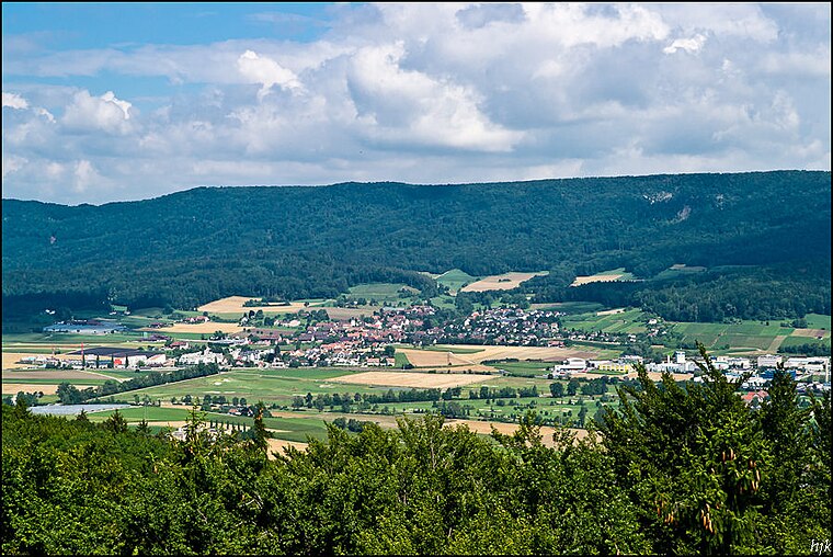
Otelfingen
Village
 Otelfingen is a municipality in the district of Dielsdorf in the canton of Zürich in Switzerland. The centre of the village, with its typical timber-framed houses, is listed in the Federal Inventory of Swiss Sites of National Importance…
Schulhaus Rotflue
- Type: Locality
- Location: Dänikon, Dielsdorf, Canton of Zurich, Switzerland, Central Europe, Europe
- View on OpenStreetMap
Latitude
47.44783° or 47° 26′ 52″ northLongitude
8.39612° or 8° 23′ 46″ eastOpen location code
8FVCC9XW+4COpenStreetMap ID
node 2211384018OpenStreetMap feature
place=locality
This page is based on OpenStreetMap, Wikidata, and Wikimedia Commons.
We’d love your help improving our open data sources. Thank you for contributing.
Satellite Map
Discover Schulhaus Rotflue from above in high-definition satellite imagery.
Places with the Same Name
Discover other places named “Schulhaus Rotflue”.
Localities in the Area
Explore places such as Im Hofacher and Hagiweid.
Notable Places Nearby
Highlights include Sportwiese and Gemeindehaus Hüttikon.
Switzerland: Must-Visit Destinations
Delve into Zurich, Berne, Geneva, and Basel.
Curious Localities to Discover
Uncover intriguing localities from every corner of the globe.
About Mapcarta. Data © OpenStreetMap contributors and available under the Open Database License". Text is available under the CC BY-SA 4.0 license, except for photos, directions, and the map. Photo: Wikimedia, CC0.