Kochlickie Wzgórze
Kochlickie Wzgórze is a peak in Gmina Miłkowice, Legnica County, Lower Silesian Voivodeship and has an elevation of 135 metres. Kochlickie Wzgórze is situated nearby to the village Kochlice, as well as near the hamlet Grodek.| Tap on a place to explore it |
Places of Interest
Highlights include Raszówka train station and Rzeszotary train stop.
Raszówka train station
Railway station

Photo: MOs810, CC BY-SA 4.0.
Raszówka train station is a railway station.
Rzeszotary train stop
Railway stop

Photo: Wikimedia, CC BY-SA 4.0.
Rzeszotary train stop is a railway stop.
Places in the Area
Nearby places include Rzeszotary and Raszówka.
Rzeszotary
Village
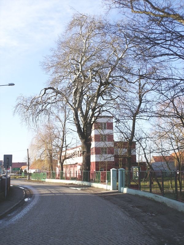
Photo: Montiverdi, CC BY 3.0.
Rzeszotary is a village in the administrative district of Gmina Miłkowice, within Legnica County, Lower Silesian Voivodeship, in south-western Poland. The village has an approximate population of 960.
Raszówka
Village

Photo: SMilejski, CC BY-SA 3.0 pl.
Raszówka is a village in the administrative district of Gmina Lubin, within Lubin County, Lower Silesian Voivodeship, in south-western Poland.
Głuchowice
Village

Photo: SMilejski, CC BY-SA 3.0.
Głuchowice is a village in the administrative district of Gmina Miłkowice, within Legnica County, Lower Silesian Voivodeship, in south-western Poland.
Kochlickie Wzgórze
- Type: Peak with an elevation of 135 metres
- Category: landform
- Location: Gmina Miłkowice, Legnica County, Lower Silesian Voivodeship, Poland, Central Europe, Europe
- View on OpenStreetMap
Latitude
51.2803° or 51° 16′ 49″ northLongitude
16.1728° or 16° 10′ 22″ eastElevation
135 metres (443 feet)Open location code
9F3R75JF+44OpenStreetMap ID
node 2221673298OpenStreetMap feature
natural=peak
This page is based on OpenStreetMap, Wikidata, and Wikimedia Commons.
We’d love your help improving our open data sources. Thank you for contributing.
Satellite Map
Discover Kochlickie Wzgórze from above in high-definition satellite imagery.
Localities in the Area
Explore places such as Kochlice and Grodek.
Notable Places Nearby
Highlights include Świetlica Klubu Sportowego ‘Iskra’ and K.S. ISKRA.
Lower Silesian Voivodeship: Must-Visit Destinations
Delve into Wrocław, Legnica, Wałbrzych, and Głogów.
Curious Peaks to Discover
Uncover intriguing peaks from every corner of the globe.
About Mapcarta. Data © OpenStreetMap contributors and available under the Open Database License". Text is available under the CC BY-SA 4.0 license, except for photos, directions, and the map. Photo: Sicherlich, CC BY 3.0.