Jugendhaus Brühl ‘Treffpunkt’
Jugendhaus Brühl ‘Treffpunkt’ is a community center in Mannheim, Karlsruhe Region, Baden-Württemberg. Jugendhaus Brühl ‘Treffpunkt’ is situated nearby to the community center Wohnangebot „Am Rennerswald“, as well as near the sports venue Tennisclub Brühl 1965 e.V..| Tap on a place to explore it |
Places of Interest Nearby
Highlights include St.-Johannes-Kirche (Mannheim) and Martinskirche.
St.-Johannes-Kirche (Mannheim)
Church

Photo: Frank-m, CC BY-SA 3.0.
St.-Johannes-Kirche (Mannheim) is a church, which is situated 1 km northwest of Jugendhaus Brühl ‘Treffpunkt’.
Martinskirche
Church

Photo: Frank-m, CC BY-SA 3.0.
Martinskirche is a church, which is situated 1¼ km northwest of Jugendhaus Brühl ‘Treffpunkt’.
Mannheim-Rheinau station
Railway station
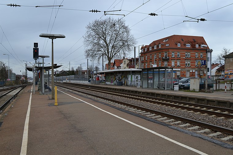
Photo: Telford, CC BY-SA 3.0.
Mannheim-Rheinau station is a railway station, which is situated 1½ km north of Jugendhaus Brühl ‘Treffpunkt’.
Places in the Area
Nearby places include Brühl and Schwetzingen.
Brühl
Town

Photo: Frank-m, CC BY-SA 2.5.
Brühl is a municipality in the Rhein-Neckar district of Baden-Württemberg, Germany. The former fishing village along the Rhine has become a satellite of a growing Mannheim.
Schwetzingen
Schwetzingen is a German town in northwest Baden-Württemberg, around 10 km southwest of Heidelberg and 15 km southeast of Mannheim. Schwetzingen is one of the five biggest cities of the Rhein-Neckar-Kreis district and a medium-sized centre between Heidelberg and Mannheim.Grenzhof
Hamlet

Photo: 4028mdk09, CC BY-SA 3.0.
Grenzhof is a hamlet, which is situated 4 km east of Jugendhaus Brühl ‘Treffpunkt’.
Jugendhaus Brühl ‘Treffpunkt’
- Email: bruehl@postillion.org
- Type: Community center
- Location: Mannheim, Karlsruhe Region, Rhine-Neckar, Baden-Württemberg, Germany, Central Europe, Europe
- View on OpenStreetMap
Latitude
49.4095° or 49° 24′ 34″ northLongitude
8.5419° or 8° 32′ 31″ eastOpen location code
8FXCCG5R+RQOpenStreetMap ID
node 2246192979OpenStreetMap feature
amenity=community_centre
This page is based on OpenStreetMap, Wikidata, and Wikimedia Commons.
We’d love your help improving our open data sources. Thank you for contributing.
Satellite Map
Discover Jugendhaus Brühl ‘Treffpunkt’ from above in high-definition satellite imagery.
Notable Places Nearby
Highlights include Wohnangebot „Am Rennerswald“ and Tennisclub Brühl 1965 e.V..
Nearby Places
Explore places such as Autohaus Arno Schenk and Siemes Schuhcenter.
Rhine-Neckar: Must-Visit Destinations
Delve into Heidelberg, Karlsruhe, Heilbronn, and Sinsheim.
Curious Community Centers to Discover
Uncover intriguing community centers from every corner of the globe.
About Mapcarta. Data © OpenStreetMap contributors and available under the Open Database License". Text is available under the CC BY-SA 4.0 license, except for photos, directions, and the map. Photo: HubiB, CC BY 2.5.