Holbæk Roklub
Holbæk Roklub is a sports venue in Holbæk Municipality, Region Zealand. Holbæk Roklub is situated nearby to Søndersted Stubmølle, as well as near the pier Holbæk Søbad, Venedig.| Tap on a place to explore it |
Places of Interest Nearby
Highlights include Søndersted Stubmølle and Holbæk railway station.

Holbæk railway station
Railway station
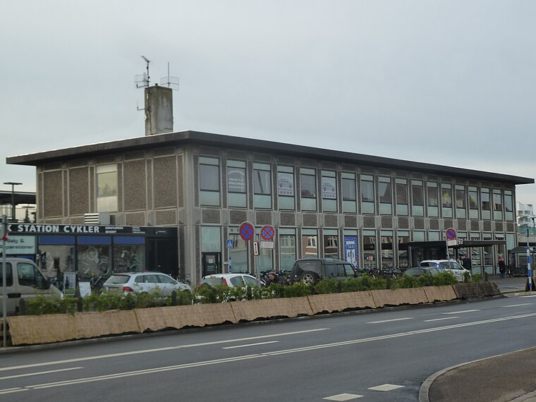
Photo: Dannebrog Spy, CC BY-SA 3.0.
Holbæk railway station is the main railway station serving the town of Holbæk in northwestern Zealand, Denmark. Holbæk station is located on the main line Northwest Line from Roskilde to Kalundborg and is the southern terminus of the Odsherredsbanen branch line from Holbæk to Nykøbing Sjælland. Holbæk railway station is situated 790 metres southeast of Holbæk Roklub.
Hotel Strandparken
Hotel

Photo: 80eren, Public domain.
Hotel Strandparken is situated 320 metres west of Holbæk Roklub.
Places in the Area
Nearby places include Holbæk and Holbæk MegaCenter.
Holbæk

Photo: Freeskydk, CC BY-SA 4.0.
Holbæk is a city in Zealand. Holbæk is an important harbour city and a commercial and cultural center for the area.

Tuse
Village
Tuse is a village in Denmark, located about 5 km west of Holbæk. It has a population of 1,380. Tuse is located in Holbæk Municipality and therefore is part of the Zealand Region. Tuse is situated 4½ km west of Holbæk Roklub.
Holbæk Roklub
- Type: Sports venue
- Categories: rowing, recreation area, and sports location
- Location: Holbæk Municipality, Region Zealand, Denmark, Nordic countries, Europe
- View on OpenStreetMap
Latitude
55.71881° or 55° 43′ 8″ northLongitude
11.69685° or 11° 41′ 49″ eastOpen location code
9F7HPM9W+GPOpenStreetMap ID
node 2282635962OpenStreetMap feature
leisure=sports_centreOpenStreetMap feature
sport=rowing
This page is based on OpenStreetMap, Wikidata, and Wikimedia Commons.
We’d love your help improving our open data sources. Thank you for contributing.
Satellite Map
Discover Holbæk Roklub from above in high-definition satellite imagery.
Notable Places Nearby
Highlights include Holbæk Søbad, Venedig and Slotscentret.
Nearby Places
Explore places such as 5-dimensionel pavillon and Tyrkisk Bad.
Denmark: Must-Visit Destinations
Delve into Copenhagen, Aarhus, Odense, and Aalborg.
Curious Sports Venues to Discover
Uncover intriguing sports venues from every corner of the globe.
About Mapcarta. Data © OpenStreetMap contributors and available under the Open Database License". Text is available under the CC BY-SA 4.0 license, except for photos, directions, and the map. Photo: Inkey, CC BY 2.0.