‘Heratsi’ high school of YSMU
‘Heratsi’ high school of YSMU is a school in Yerevan, Central Armenia. ‘Heratsi’ high school of YSMU is situated nearby to the college Yerevan State Vocational School of Ornamental Art, as well as near the bus station Bus for Hrazdan, Gavar.| Tap on a place to explore it |
Places of Interest Nearby
Highlights include Hematology Center Aft. Prof. R.Yeolyan and Izmirlian Medical Center.
Hematology Center Aft. Prof. R.Yeolyan
Hospital

Photo: Armineaghayan, CC BY-SA 4.0.
Hematology Center Aft. Prof. R.Yeolyan is a hospital, which is situated 210 metres southeast of ‘Heratsi’ high school of YSMU.
Izmirlian Medical Center
Hospital
 Izmirlian Medical Center, is a medical center and research foundation located in the Armenian capital Yerevan. Opened in 1986, it is located in the Kanaker-Zeytun district and currently operates under the supervision of the Mother See of Holy Etchmiadzin. Izmirlian Medical Center is situated 440 metres east of ‘Heratsi’ high school of YSMU.
Matenadaran
Museum
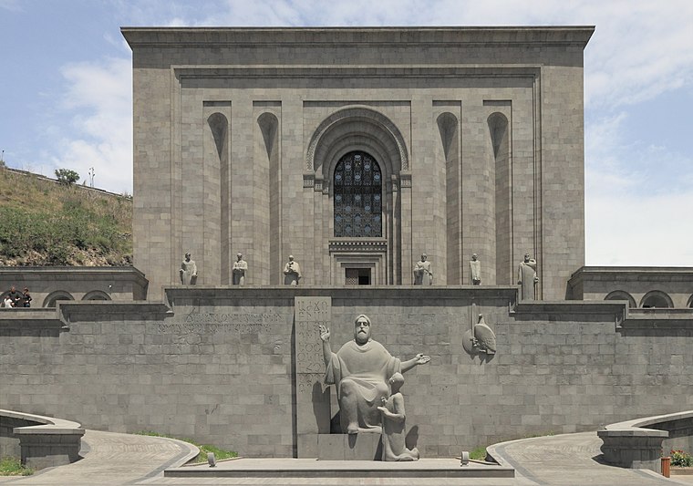
Photo: Halavar, CC BY-SA 4.0.
The Matenadaran, officially the Mesrop Mashtots Institute of Ancient Manuscripts, is a museum, repository of manuscripts, and a research institute in Yerevan, Armenia. Matenadaran is situated 2 km southwest of ‘Heratsi’ high school of YSMU.
Places in the Area
Nearby places include Kond and Zovuni.
Kond
Neighborhood

Photo: Stamboltsyan, Public domain.
Kond is one of the oldest quarters of Yerevan. It is situated within the boundaries of the modern-day Kentron District of the capital of Armenia. According to Hovhannes Shahkhatunyants, an Armenian historian, Kond is located at the western and southern hillsides and foot of a rocky hill with similar name. Kond is situated 3½ km southwest of ‘Heratsi’ high school of YSMU.
Zovuni
Village

Photo: ERJANIK, CC BY-SA 3.0.
Zovuni, is a major village in the Kotayk Province of Armenia, located just north of the capital Yerevan. As of the 2024 census, the population of the village is 7,290. Zovuni is situated 3½ km northwest of ‘Heratsi’ high school of YSMU.
Davtashen
Suburb
 Davtashen, also known as Davitashen or Davidashen, is one of the 12 districts of Yerevan, the capital of Armenia. Located on the right bank of Hrazdan River, Davtashen is bordered by the districts of Ajapnyak and Arabkir from the south, and the Kotayk Province from the north. Davtashen is situated 4½ km west of ‘Heratsi’ high school of YSMU.
‘Heratsi’ high school of YSMU
- Type: School
- Category: education
- Location: Yerevan, Central Armenia, Armenia, Caucasus, Asia
- View on OpenStreetMap
Latitude
40.20651° or 40° 12′ 23″ northLongitude
44.52966° or 44° 31′ 47″ eastOpen location code
8HG66G4H+JVOpenStreetMap ID
node 2318167567OpenStreetMap feature
amenity=school
This page is based on OpenStreetMap, Wikidata, and Wikimedia Commons.
We’d love your help improving our open data sources. Thank you for contributing.
Satellite Map
Discover ‘Heratsi’ high school of YSMU from above in high-definition satellite imagery.
In Other Languages
“‘Heratsi’ high school of YSMU” goes by many names.
- Russian: “‘Гераци’ Старшая школа при ЕГМУ”
Notable Places Nearby
Highlights include Yerevan State Vocational School of Ornamental Art and Bus for Hrazdan, Gavar.
Nearby Places
Explore places such as Ventola and The toast.
Central Armenia: Must-Visit Destinations
Delve into Echmiadzin, Artashat, Ashtarak, and Armavir.
Curious Places to Discover
Uncover intriguing places from every corner of the globe.
About Mapcarta. Data © OpenStreetMap contributors and available under the Open Database License". Text is available under the CC BY-SA 4.0 license, except for photos, directions, and the map. Photo: Սէրուժ, CC BY 4.0.