Långa bryggan
Långa bryggan is a recreation area in Flädie socken, Bjärred, Scania. Långa bryggan is situated nearby to Bjersunds tegelbruksmuseum, as well as near the public building Tallkotten.| Tap on a place to explore it |
Places of Interest Nearby
Highlights include Bergakyrkan and Flädierev.
Bergakyrkan
Church

Photo: Jorchr, CC BY-SA 3.0.
Bergakyrkan is a church, which is situated 490 metres north of Långa bryggan.


Places in the Area
Nearby places include Bjärred and Lomma.
Bjärred
Town

Photo: Julle, CC BY-SA 4.0.
Bjärred is a coastal locality situated in Lomma Municipality, Skåne County, Sweden. It is situated about 20 km north of Malmö, 10 km west of Lund and 5 km north of Lomma village.
Lomma
Town
 Lomma is a locality and the seat of Lomma Municipality, Skåne County, Sweden. In 2020 it had 13,772 inhabitants. Lomma is situated 5 km southeast of Långa bryggan.
Jakriborg
Neighborhood
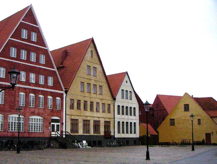
Photo: Wikimedia, CC BY-SA 3.0.
Jakriborg is a housing estate in Hjärup, Staffanstorp Municipality between Malmö and Lund in Scania, southern Sweden. The area was built in the late 1990s by the real estate firm Jakri AB and had been growing ever since. Jakriborg is situated 8 km southeast of Långa bryggan.
Långa bryggan
- Type: Recreation area
- Categories: tourist attraction and tourism
- Location: Flädie socken, Bjärred, Lomma Municipality, Scania, Götaland, Sweden, Nordic countries, Europe
- View on OpenStreetMap
Latitude
55.71134° or 55° 42′ 41″ northLongitude
13.02439° or 13° 1′ 28″ eastOpen location code
9F7MP26F+GQOpenStreetMap ID
node 2324803382OpenStreetMap feature
leisure=bathing_place
This page is based on OpenStreetMap, Wikidata, and Wikimedia Commons.
We’d love your help improving our open data sources. Thank you for contributing.
Satellite Map
Discover Långa bryggan from above in high-definition satellite imagery.
Notable Places Nearby
Highlights include Bjersunds tegelbruksmuseum and Tallkotten.
Nearby Places
Explore places such as Saltsjöbadens Kiosk and Bjärred Bjerredsgården.
Scania: Must-Visit Destinations
Delve into Malmö, Lund, Helsingborg, and Kristianstad.
Curious Recreation Areas to Discover
Uncover intriguing recreation areas from every corner of the globe.
About Mapcarta. Data © OpenStreetMap contributors and available under the Open Database License". Text is available under the CC BY-SA 4.0 license, except for photos, directions, and the map. Photo: Ainali, CC BY-SA 3.0.