An Duhwinkelspeschen
An Duhwinkelspeschen is a locality in Brüggen, Viersen, North Rhine-Westphalia. An Duhwinkelspeschen is situated nearby to the locality Kindter Stegchenspeschen, as well as near Am Rohrland.| Tap on a place to explore it |
Places of Interest
Highlights include Borner See and Saint Peter Church.

Brüggen Castle
Public building

Photo: sodele, CC BY-SA 2.0.
Brüggen Castle is a water castle in the southeastern part of the Lower Rhine municipality of Brüggen in North Rhine-Westphalia. It was the most important castle in the north of the Duchy of Jülich. Brüggen Castle is situated 3½ km southwest of An Duhwinkelspeschen.
Places in the Area
Nearby places include Brempt and Waldniel.
Brempt
Village

Photo: Wikimedia, Public domain.
Brempt is a village, which is situated 5 km south of An Duhwinkelspeschen.
Waldniel
Town

Photo: Ichmichi, CC BY-SA 3.0.
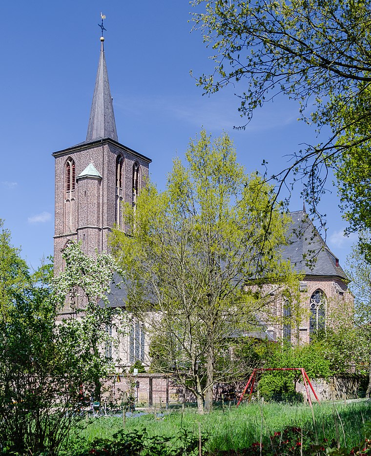
Waldniel is a village, part of the municipality Schwalmtal in the district Viersen, North Rhine-Westphalia, Germany. It has 11,750 inhabitants. Waldniel is situated 6 km southeast of An Duhwinkelspeschen.
Lobberich
Town

Photo: O.Falkner, CC BY-SA 3.0.
Lobberich is a German village in North Rhine-Westphalia, situated close to the Dutch border at Venlo. It has a population of around 14,000 inhabitants. Lobberich is situated 6 km northeast of An Duhwinkelspeschen.
An Duhwinkelspeschen
- Type: Locality
- Location: Brüggen, Viersen, Düsseldorf, North Rhine-Westphalia, Germany, Central Europe, Europe
- View on OpenStreetMap
Latitude
51.25752° or 51° 15′ 27″ northLongitude
6.23094° or 6° 13′ 51″ eastOpen location code
9F38765J+29OpenStreetMap ID
node 2340459275OpenStreetMap feature
place=locality
This page is based on OpenStreetMap, Wikidata, and Wikimedia Commons.
We’d love your help improving our open data sources. Thank you for contributing.
Satellite Map
Discover An Duhwinkelspeschen from above in high-definition satellite imagery.
Localities in the Area
Explore places such as Kindter Stegchenspeschen and Kindter Stegchen.
Notable Places Nearby
Highlights include Luftsportverein Brüggen Schmwalmtal e.V. and Wasserschutzzone, Wassergewinnung Amern 2.
North Rhine-Westphalia: Must-Visit Destinations
Delve into Cologne, Düsseldorf, Bonn, and Dortmund.
Curious Localities to Discover
Uncover intriguing localities from every corner of the globe.
About Mapcarta. Data © OpenStreetMap contributors and available under the Open Database License". Text is available under the CC BY-SA 4.0 license, except for photos, directions, and the map. Photo: Daniel Schwen, CC BY-SA 2.5.