Piepers Hütt
Piepers Hütt is a locality in Viersen, Düsseldorf, North Rhine-Westphalia. Piepers Hütt is situated nearby to the locality Hinter der Burg, as well as near Tiskes Hütt.| Tap on a place to explore it |
Places of Interest
Highlights include Boisheim station and St. Peter (Viersen-Boisheim).
Boisheim station
Railway station
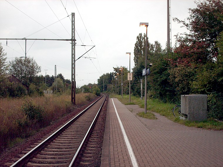
Photo: Stefan Flöper, CC BY-SA 4.0.
Boisheim is a railway station located in Boisheim, Germany. The station opened on 29 January 1866, and is located on the Viersen–Venlo railway. The train services are operated by Eurobahn.
St. Peter (Viersen-Boisheim)
Church

Photo: Rudolfo42, CC BY-SA 4.0.
St. Peter (Viersen-Boisheim) is a church.

Places in the Area
Nearby places include Dülken and Lobberich.
Dülken
Town

Photo: Stefan Flöper, CC BY-SA 4.0.
Dülken is a town located in the North Rhine-Westphalia state of Germany. It has a population of about 20,000. It is a borough of the municipality of Viersen. Dülken is situated 3 km southeast of Piepers Hütt.
Lobberich
Town

Photo: O.Falkner, CC BY-SA 3.0.
Lobberich is a German village in North Rhine-Westphalia, situated close to the Dutch border at Venlo. It has a population of around 14,000 inhabitants. Lobberich is situated 5 km north of Piepers Hütt.
Waldniel
Town

Photo: Ichmichi, CC BY-SA 3.0.
Waldniel is a village, part of the municipality Schwalmtal in the district Viersen, North Rhine-Westphalia, Germany. It has 11,750 inhabitants. Waldniel is situated 6 km south of Piepers Hütt.
Piepers Hütt
- Type: Locality
- Location: Viersen, Düsseldorf, North Rhine-Westphalia, Germany, Central Europe, Europe
- View on OpenStreetMap
Latitude
51.26196° or 51° 15′ 43″ northLongitude
6.29606° or 6° 17′ 46″ eastOpen location code
9F38776W+QCOpenStreetMap ID
node 2340461381OpenStreetMap feature
place=locality
This page is based on OpenStreetMap, Wikidata, and Wikimedia Commons.
We’d love your help improving our open data sources. Thank you for contributing.
Satellite Map
Discover Piepers Hütt from above in high-definition satellite imagery.
Localities in the Area
Explore places such as Hinter der Burg and Tiskes Hütt.
Notable Places Nearby
Highlights include Wasserschutzzone, Wassergewinnung Boisheim and Regenrückhaltebecken und Retentionsbodenfilter Dülkener Nette.
North Rhine-Westphalia: Must-Visit Destinations
Delve into Cologne, Düsseldorf, Bonn, and Dortmund.
Curious Localities to Discover
Uncover intriguing localities from every corner of the globe.
About Mapcarta. Data © OpenStreetMap contributors and available under the Open Database License". Text is available under the CC BY-SA 4.0 license, except for photos, directions, and the map. Photo: Daniel Schwen, CC BY-SA 2.5.