Watts
Watts is a hamlet in Glyndon Township, Clay, Minnesota. Watts is situated nearby to the hamlet Park Lane Mobile Home Park, as well as near the village Glyndon.| Tap on a place to explore it |
Places of Interest
Highlights include Moorhead Municipal Airport.
Moorhead Municipal Airport
Aerodrome
Moorhead Municipal Airport is a city-owned public-use airport located in Moorhead, a city in Clay County, Minnesota. It has one runway and, as of 2010, it served general aviation only. Moorhead Municipal Airport is situated 2½ miles south of Watts.
Places in the Area
Nearby places include Dilworth and Glyndon.
Dilworth

Photo: WhiteWriter, CC BY-SA 3.0.
Dilworth is in Minnesota. It began as a somewhat industrial railroad town, and has developed into a quaint small suburb to the east of Moorhead, MN and Fargo, ND.
Glyndon
Village
Glyndon is a city in Clay County, Minnesota, United States. The population was 1,306 as of the 2020 census. Glyndon is situated 3½ miles east of Watts.
Moorhead
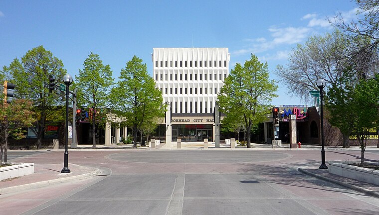 Moorhead is a city in Minnesota of about 35,000. Moorhead is sometimes referred to as the "twin city" of the larger Fargo, North Dakota, its neighbor across the Red River in North Dakota.
Watts
- Type: Hamlet
- Category: locality
- Location: Glyndon Township, Clay, Minnesota, Midwest, United States, North America
- View on OpenStreetMap
Latitude
46.87339° or 46° 52′ 24″ northLongitude
-96.65066° or 96° 39′ 2″ westOpen location code
86R5V8FX+9POpenStreetMap ID
node 2356332954OpenStreetMap feature
place=hamlet
This page is based on OpenStreetMap, Wikidata, and Wikimedia Commons.
We’d love your help improving our open data sources. Thank you for contributing.
Satellite Map
Discover Watts from above in high-definition satellite imagery.
Places with the Same Name
Discover other places named “Watts”.
Localities in the Area
Explore places such as Park Lane Mobile Home Park and Meadows.
Notable Places Nearby
Highlights include Woodbridge Park and Cottonwood Park.
Minnesota: Must-Visit Destinations
Delve into Minneapolis, Saint Paul, Duluth, and Rochester.
Curious Hamlets to Discover
Uncover intriguing hamlets from every corner of the globe.
About Mapcarta. Data © OpenStreetMap contributors and available under the Open Database License". Text is available under the CC BY-SA 4.0 license, except for photos, directions, and the map. Photo: Wikimedia, CC0.