Gourlannou
Gourlannou is a hamlet in Cléden-Cap-Sizun, Arrondissement of Quimper, Brittany. Gourlannou is situated nearby to the hamlet Kermeur, as well as near Kermerrien.| Tap on a place to explore it |
Places of Interest
Highlights include Église de Cléden-Cap-Sizun and Moulin de Trouguer.
Église de Cléden-Cap-Sizun
Church
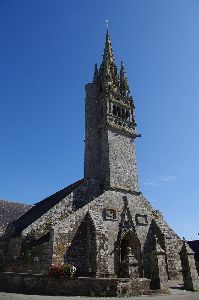
Photo: Tof29, CC BY-SA 3.0.
Église de Cléden-Cap-Sizun is a church.
Moulin de Trouguer

Photo: Raphodon, CC BY-SA 3.0.
Moulin de Trouguer is situated 3 km west of Gourlannou.
Chapelle Saint-Trémeur de Cléden-Cap-Sizun
Church

Photo: Moreau.henri, CC BY-SA 4.0.
Chapelle Saint-Trémeur de Cléden-Cap-Sizun is a church, which is situated 2½ km southeast of Gourlannou.
Gourlannou
- Type: Hamlet
- Category: locality
- Location: Cléden-Cap-Sizun, Arrondissement of Quimper, Finistère, Brittany, France, Europe
- View on OpenStreetMap
Latitude
48.06307° or 48° 3′ 47″ northLongitude
-4.65887° or 4° 39′ 32″ westOpen location code
8CWQ387R+6FOpenStreetMap ID
node 2359486091OpenStreetMap feature
place=hamlet
This page is based on OpenStreetMap, Wikidata, and Wikimedia Commons.
We’d love your help improving our open data sources. Thank you for contributing.
Satellite Map
Discover Gourlannou from above in high-definition satellite imagery.
In Other Languages
“Gourlannou” goes by many names.
- Breton: “Gourlannoù”
Localities in the Area
Explore places such as Kermeur and Kermerrien.
Notable Places Nearby
Highlights include Ruisseau and EP du Cap-Sizun.
Brittany: Must-Visit Destinations
Delve into Rennes, Brest, Finistère, and Morbihan.
Curious Hamlets to Discover
Uncover intriguing hamlets from every corner of the globe.
About Mapcarta. Data © OpenStreetMap contributors and available under the Open Database License". Text is available under the CC BY-SA 4.0 license, except for photos, directions, and the map. Photo: Spendeau, CC BY-SA 3.0.