Jerry Flats #63
Jerry Flats #63 is a campsite in Unorganized Territory of Forneys Creek, Swain, North Carolina and has an elevation of 2,871 feet. Jerry Flats #63 is situated nearby to the peak Coburn Knob, as well as near Kelly Bennett Peak.| Tap on a place to explore it |
Places of Interest Nearby
Highlights include Andrews Bald.
Andrews Bald
Peak

Photo: BrineStans, CC BY 2.5.
Andrews Bald is a mountain in the Great Smoky Mountains, located in the southeastern United States. It has an elevation of 5,920 feet above sea level, making it the highest grassy bald in the Great Smoky Mountains National Park. Andrews Bald is situated 2½ miles north of Jerry Flats #63.
Places in the Area
Nearby places include Bryson City.
Bryson City
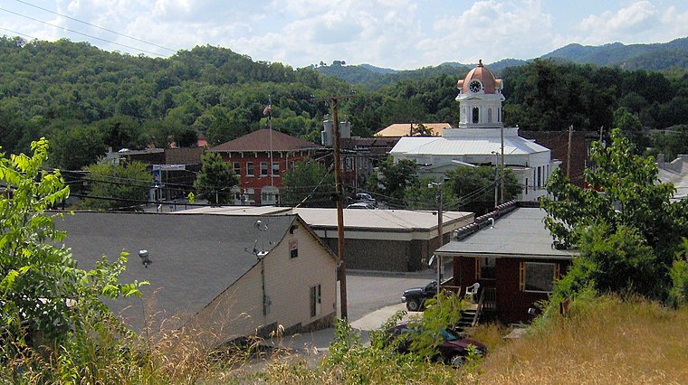
Photo: BrineStans, CC BY 3.0.
Bryson City is a small city located in the Mountains of North Carolina. The city is located near the eastern entrance of Great Smoky Mountains National Park.
Jerry Flats #63
- Type: Campsite
- Also known as: “Backcountry Camp 63, Jerry Flats”
- Categories: tourism and camping
- Location: Unorganized Territory of Forneys Creek, Swain, North Carolina, South, United States, North America
- View on OpenStreetMap
Latitude
35.50616° or 35° 30′ 22″ northLongitude
-83.4872° or 83° 29′ 14″ westElevation
2,871 feet (875 metres)Operator
National Park ServiceOpen location code
867RGG47+F4OpenStreetMap ID
node 2361010320OpenStreetMap feature
tourism=camp_site
This page is based on OpenStreetMap, Wikidata, and Wikimedia Commons.
We’d love your help improving our open data sources. Thank you for contributing.
Satellite Map
Discover Jerry Flats #63 from above in high-definition satellite imagery.
Notable Places Nearby
Highlights include Upper Noland Cemetery and Coburn Knob.
Nearby Places
Explore places such as Mill Creek #64 and Upper Ripshin #62.
North Carolina: Must-Visit Destinations
Delve into Charlotte, Raleigh, Asheville, and Greensboro.
Curious Campsites to Discover
Uncover intriguing campsites from every corner of the globe.
About Mapcarta. Data © OpenStreetMap contributors and available under the Open Database License". Text is available under the CC BY-SA 4.0 license, except for photos, directions, and the map. Photo: southernfoodwaysalliance, CC BY 2.0.