Posto de Vigia São Lourenço
Posto de Vigia São Lourenço is a tower in Manteigas (Santa Maria), Manteigas Municipality, Guarda District and has an elevation of 1,170 metres. Access is restricted and requires permission. Posto de Vigia São Lourenço is situated nearby to the scenic viewpoint Miradouro de São Lourenço, as well as near the church Capela de São Lourenço.| Tap on a place to explore it |
Places of Interest Nearby
Highlights include Capela do Calvário and Câmara Municipal de Manteigas.
Capela do Calvário
Church

Photo: Vitor Oliveira, CC BY-SA 2.0.
Capela do Calvário is a church, which is situated 2½ km west of Posto de Vigia São Lourenço.
Câmara Municipal de Manteigas
Town hall
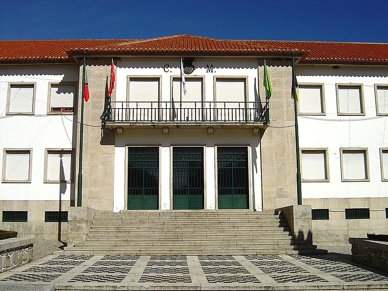
Photo: Vitor Oliveira, CC BY-SA 2.0.
Câmara Municipal de Manteigas is a town hall, which is situated 2½ km southwest of Posto de Vigia São Lourenço.
Igreja Paroquial de São Pedro de Manteigas
Church

Photo: Vitor Oliveira, CC BY-SA 2.0.
Igreja Paroquial de São Pedro de Manteigas is a church, which is situated 2½ km southwest of Posto de Vigia São Lourenço.
Places in the Area
Nearby places include Sameiro and Valhelhas.

Valhelhas
Village

Photo: Alexa Pinto, CC BY-SA 3.0.
Valhelhas is a parish in the municipality of Guarda in Portugal. The population in 2011 was 396, in an area of 20.18 km2. Valhelhas is situated 9 km east of Posto de Vigia São Lourenço.
Posto de Vigia São Lourenço
- Access is restricted and requires permission.
- Type: Tower
- Location: Manteigas (Santa Maria), Manteigas Municipality, Guarda District, Portugal, Iberia, Europe
- View on OpenStreetMap
Latitude
40.41016° or 40° 24′ 37″ northLongitude
-7.51198° or 7° 30′ 43″ westElevation
1,170 metres (3,839 feet)Height
11 metres (36 feet)Open location code
8CGJCF6Q+36OpenStreetMap ID
node 2387693032OpenStreetMap feature
man_made=tower
This page is based on OpenStreetMap, Wikidata, and Wikimedia Commons.
We’d love your help improving our open data sources. Thank you for contributing.
Satellite Map
Discover Posto de Vigia São Lourenço from above in high-definition satellite imagery.
Places with the Same Name
Discover other places named “Posto de Vigia São Lourenço”.
Notable Places Nearby
Highlights include Miradouro de São Lourenço and Capela de São Lourenço.
Nearby Places
Explore places such as Ecocentro de Manteigas and Parque de Várzea.
Portugal: Must-Visit Destinations
Delve into Lisbon, Caldas da Rainha, Porto, and Coimbra.
Curious Towers to Discover
Uncover intriguing towers from every corner of the globe.
About Mapcarta. Data © OpenStreetMap contributors and available under the Open Database License". Text is available under the CC BY-SA 4.0 license, except for photos, directions, and the map. Photo: Lentolho - Fotografia, CC BY-SA 4.0.