Ruessen
Ruessen is in Horgen, Canton of Zurich. Ruessen is situated nearby to the bowling alley Cherry Bowl, as well as near the church Kirche St. Maria Walterswil.| Tap on a place to explore it |
Places of Interest Nearby
Highlights include Baarburg and Heiligkreuz chapel.

Heiligkreuz chapel
Church

Photo: Ikiwaner, CC BY-SA 3.0.
Heiligkreuz chapel is a church, which is situated 2 km southwest of Ruessen.
Krone
Restaurant
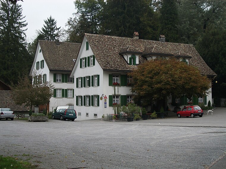
Photo: Paebi, CC BY-SA 3.0.
Krone is a restaurant, which is situated 1½ km northeast of Ruessen.
Places in the Area
Nearby places include Neuheim and Sihlbrugg.
Neuheim
Village
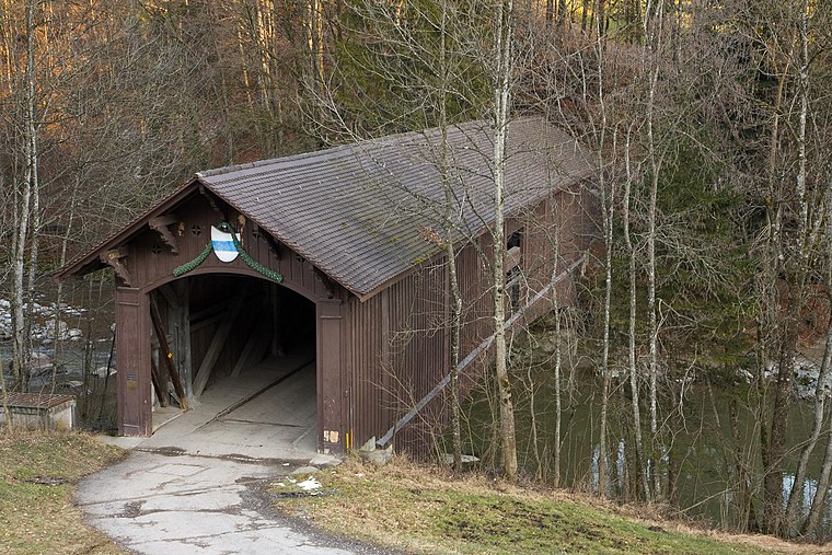
Photo: Ikiwaner, CC BY-SA 3.0.
Neuheim is a municipality in the canton of Zug in Switzerland.
Sihlbrugg
Village
Photo: Paebi, CC BY-SA 3.0.
Sihlbrugg is a village and important transportation node between the cantons of Zug and Zürich in Switzerland.
Baar
Town

Photo: Wikimedia, CC BY-SA 3.0.
Baar is a municipality in the canton of Zug in Switzerland. Baar is situated 3 km southwest of Ruessen.
Ruessen
- Type: Sign
- Categories: information and tourism
- Location: Horgen, Horgen District, Canton of Zurich, Switzerland, Central Europe, Europe
- View on OpenStreetMap
Latitude
47.21033° or 47° 12′ 37″ northLongitude
8.56199° or 8° 33′ 43″ eastElevation
548 metres (1,798 feet)Open location code
8FVC6H66+4QOpenStreetMap ID
node 240085571OpenStreetMap feature
tourism=information
This page is based on OpenStreetMap, Wikidata, and Wikimedia Commons.
We’d love your help improving our open data sources. Thank you for contributing.
Satellite Map
Discover Ruessen from above in high-definition satellite imagery.
Places with the Same Name
Discover other places named “Ruessen”.
Notable Places Nearby
Highlights include Cherry Bowl and Kirche St. Maria Walterswil.
Nearby Places
Explore places such as Trooper and Kärcher.
Switzerland: Must-Visit Destinations
Delve into Zurich, Berne, Geneva, and Basel.
Curious Places to Discover
Uncover intriguing places from every corner of the globe.
About Mapcarta. Data © OpenStreetMap contributors and available under the Open Database License". Text is available under the CC BY-SA 4.0 license, except for photos, directions, and the map. Photo: Wikimedia, CC0.