Haus der Mode
Haus der Mode is a clothing store in Großwallstadt, Miltenberg, Bavaria which is located on Großostheimer Straße. Haus der Mode is situated nearby to the sauna Maintal Saunen, as well as near the stadium Jahn-Kampfbahn.| Tap on a place to explore it |
Places of Interest Nearby
Highlights include Brunnen and Rathaus.
Brunnen
Historic site
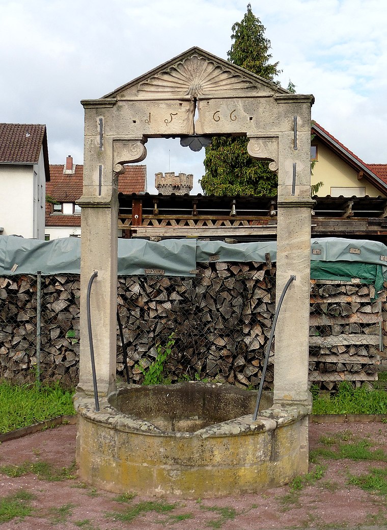
Photo: HeinrichStuerzl, CC BY-SA 4.0.
Brunnen is a historic site, which is situated 770 metres east of Haus der Mode.
Rathaus
Historic building

Photo: Salino01, CC BY-SA 3.0.
Rathaus is a historic building, which is situated 1½ km southeast of Haus der Mode.
Wohnhaus
Historic building

Photo: Salino01, CC BY-SA 3.0.
Wohnhaus is a historic building, which is situated 1½ km southeast of Haus der Mode.
Places in the Area
Nearby places include Großwallstadt and Sulzbach am Main.
Großwallstadt
Village

Photo: Tilman AB, Public domain.
Großwallstadt is a municipality in the Miltenberg district in the Regierungsbezirk of Lower Franconia in Bavaria, Germany.
Sulzbach am Main
Village

Photo: Salino01, CC BY-SA 4.0.
Sulzbach am Main is a market municipality in the Miltenberg district in the Regierungsbezirk of Lower Franconia in Bavaria, Germany. Sulzbach am Main is situated 3 km north of Haus der Mode.
Elsenfeld
Town

Photo: Wikimedia, CC BY-SA 3.0 de.
Elsenfeld is a market municipality in the Miltenberg district in the Regierungsbezirk of Lower Franconia in Bavaria, Germany. It is located on the river Main between the hills of the Spessart, east of the river, and Odenwald, west of the river. Elsenfeld is situated 4 km south of Haus der Mode.
Haus der Mode
- Type: Clothing store
- Address: Großostheimer Straße, Großwallstadt, 63868
- Category: shop
- Location: Großwallstadt, Miltenberg, Lower Franconia, Franconia, Bavaria, Germany, Central Europe, Europe
- View on OpenStreetMap
Latitude
49.88152° or 49° 52′ 54″ northLongitude
9.15013° or 9° 9′ 1″ eastOpen location code
8FXFV5J2+J3OpenStreetMap ID
node 2402657072OpenStreetMap feature
shop=clothes
This page is based on OpenStreetMap, Wikidata, and Wikimedia Commons.
We’d love your help improving our open data sources. Thank you for contributing.
Satellite Map
Discover Haus der Mode from above in high-definition satellite imagery.
Places with the Same Name
Discover other places named “Haus der Mode”.
Notable Places Nearby
Highlights include Maintal Saunen and Jahn-Kampfbahn.
Nearby Places
Explore places such as 1a autoservice Omnibus-Vogel and Tankstelle Vogel.
Lower Franconia: Must-Visit Destinations
Delve into Würzburg, Aschaffenburg, Schweinfurt, and Bad Kissingen.
Curious Clothing Stores to Discover
Uncover intriguing clothing stores from every corner of the globe.
About Mapcarta. Data © OpenStreetMap contributors and available under the Open Database License". Text is available under the CC BY-SA 4.0 license, except for photos, directions, and the map. Photo: Benreis, CC BY 3.0.