Farmacia Valle Abajo
Farmacia Valle Abajo is a pharmacy in Libertador Municipality, Distrito Federal which is located on Ventuarí. Farmacia Valle Abajo is situated nearby to the park Paseo Los Ilustres, as well as near Plaza Pérez Galdos.| Tap on a place to explore it |
Places of Interest Nearby
Highlights include Los Símbolos station and Iglesia de San Pedro.
Los Símbolos station
Metro station
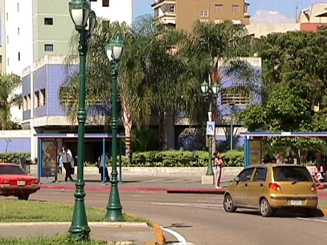
Photo: Veronidae, CC BY-SA 3.0.
Los Símbolos is a Caracas Metro station on Line 3. It was opened on 18 December 1994 as part of the inaugural section of Line 3 from Plaza Venezuela to El Valle. The station is between Ciudad Universitaria and La Bandera. Los Símbolos station is situated 190 metres west of Farmacia Valle Abajo.
Iglesia de San Pedro
Church

Photo: José Alfaro, CC BY-SA 4.0.
Iglesia de San Pedro is a church, which is situated 300 metres northeast of Farmacia Valle Abajo.
Central Library
Library
 The Biblioteca Central de la UCV, or Central Library is the main library in the University City of Caracas, and the most important one of the Central University of Venezuela. Central Library is situated 1 km northeast of Farmacia Valle Abajo.
Places in the Area
Nearby places include El Rosal and Caracas.
El Rosal
Suburb

Photo: Norzap, CC BY-SA 3.0.
El Rosal is a neighbourhood of Caracas, Venezuela, in the Chacao municipality. It is located at East Caracas, near the geographic center of Caracas and is one of its financial centres. It has an estimated area of 50.9 hectares… El Rosal is situated 3 km east of Farmacia Valle Abajo.
Caracas

Photo: Gabriela Camaton, CC BY 2.0.
Caracas is the capital and largest city of Venezuela, in northern Venezuela, near the Caribbean. Venezuela’s urban spirit can be discovered mainly from understanding Caracas, its capital city, a busy metropolis famous for its food, cultural diversity, and perfect climate, thanks to the unique combination of a high elevation and proximity to the Caribbean Sea.
Las Mercedes
Suburb

Photo: Veronidae, CC BY-SA 3.0.
Las Mercedes is the largest district for shopping and leisure in Latin America. It is located at the Baruta Municipality, Miranda, Caracas. It has an estimated area of 93 hectares. Las Mercedes is situated 3½ km east of Farmacia Valle Abajo.
Farmacia Valle Abajo
- Type: Pharmacy
- Address: Ventuarí, Caracas, 1040
- Category: health care
- Location: Libertador Municipality, Distrito Federal, Venezuela, South America
- View on OpenStreetMap
Latitude
10.48318° or 10° 28′ 60″ northLongitude
-66.89354° or 66° 53′ 37″ westOpen location code
772MF4M4+7HOpenStreetMap ID
node 2405640061OpenStreetMap feature
amenity=pharmacyOpenStreetMap feature
healthcare=pharmacy
This page is based on OpenStreetMap, Wikidata, and Wikimedia Commons.
We’d love your help improving our open data sources. Thank you for contributing.
Satellite Map
Discover Farmacia Valle Abajo from above in high-definition satellite imagery.
Notable Places Nearby
Highlights include Paseo Los Ilustres and Plaza Pérez Galdos.
Nearby Places
Explore places such as Edificio Palma Dorada and Edificio Carolina.
Venezuela: Must-Visit Destinations
Delve into Caracas, Mérida, Maracaibo, and Táchira.
Curious Pharmacies to Discover
Uncover intriguing pharmacies from every corner of the globe.
About Mapcarta. Data © OpenStreetMap contributors and available under the Open Database License". Text is available under the CC BY-SA 4.0 license, except for photos, directions, and the map. Photo: Wikimedia, CC0.